Download

1 / 0
0 likes | 106 Views
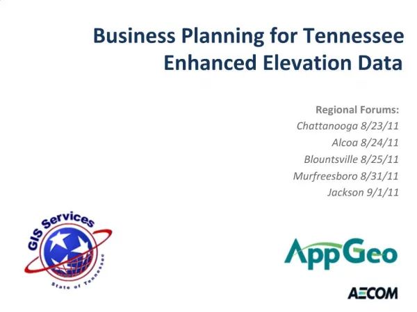
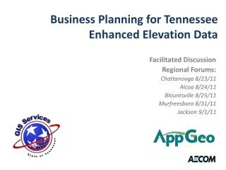
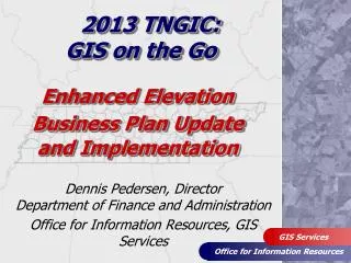
Explore the technical insights on Enhanced Elevation with expert Zsolt Nagy in Tennessee. Discover the potential benefits and applications in regional forums across Chattanooga, Alcoa, Blountsville, Murfreesboro, and Jackson.

E N D