Download
1 / 50
500 likes | 607 Views
Understand the steps to characterize nonpoint pollutant sources for bacteria TMDL development using GIS data, livestock, wildlife, human, and pet populations. Sources include livestock waste, straight pipes, and wildlife habitats. Utilize census data and expert input to estimate pollutant loads and distribution over space and time. Model input involves waste production rates and manure management effects for various animal types.

E N D
13aSource Assessment – Nonpoint Sources Using BSLC Virginia Tech Biological Systems Engineering 2013 DEQ TMDL Workshop
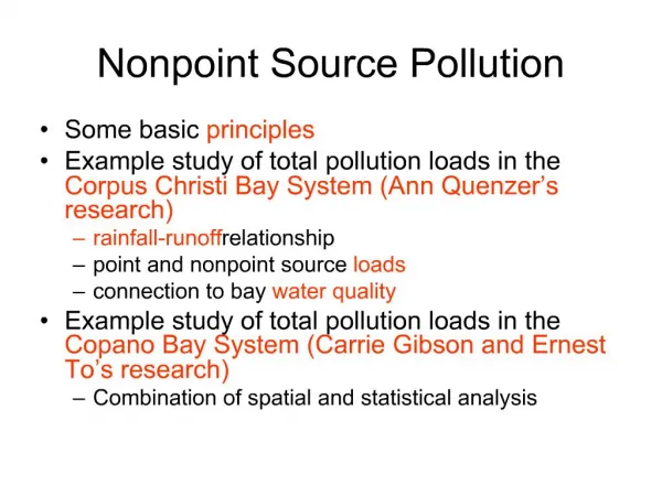
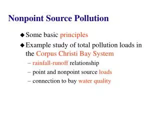
Nonpoint Sources – Identify the nonpoint sources typically considered in bacteria TMDL development Pollutant Source Characterization - Understand the steps taken to characterize the nonpoint sources Pollutant Source Simulation – Recognize the simulation of nonpoint sources in an HSPF model Overview/Objectives
Livestock • Beef cattle, dairy, horses, sheep, goats, poultry • Wildlife • Deer, beavers, muskrats, raccoons, ducks, geese, turkeys • Human • Straight pipes, leaking septic systems • Pet • Dogs Population Inventory - Bacteria
Estimates GIS Census No Expert Group Producers Agencies Trappers Pollutant Load Estimates Consensus Yes Stakeholders Pollutant Source Characterization
Pollutant Source Characterization Identify Sources (Point/ Non-point) Inventory sources Quantify waste and production rates Account for storage and management Distribute loads over space and time Input to model
No. of farms + average herd size • Agricultural Census • Direct count • Farmer survey • Producer organizations • Previously mapped data: • Digital ortho-photo • Topographic maps • E-911 data • FSA aerial photographs • Adjust estimates with feedback from local stakeholders Population Inventory - Livestock
USDA – NASS (National Agricultural Statistics Service) Augusta County County Ag Census Data Rockbridge County
Species selected in conjunction with local agency personnel and citizen input • Population estimates based on: • Literature values of species population densities • GIS delineations of suitable habitat areas • Virginia Department of Game & Inland Fisheries (DGIF) • Adjust estimates with feedback from local stakeholders Population Inventory - Wildlife
Example All areas within 400m of perennial streams, excluding loafing lots and pastures Raccoon Population Estimate Suitable habitat = 15,272 acres Population density = 1/ 13 acres Population estimate = 1,175
Problem Site Definition • Non-sewered, older residences, close to streams • Population: census data by tract • Other Spatial Data • E-911 data • Topographic maps (revision dates) • Local Planning and Health Departments • Streams Population Inventory - Human
Population Inventory: Pets • Local Veterinarians and Kennels • Dog Licenses • ‘Unit Pet’ Estimate
Pollutant Source Characterization Identify Sources (Point/ Non-point) Inventory sources Quantify waste and production rates Account for storage and management Distribute loads over space and time Input to model
For individual animal types • Daily waste production (gm/head-day or gm/AU-day) • FC density (count or cfu/gm) • Daily FC Produced(cfu/head-day) • Data Sources • ASAE Standards • Published research • Site-specific sample analysis • MidWest Plan Service • Previous FC TMDLs Quantify Waste and Production Rates
Pollutant Source Characterization Identify Sources (Point/ Non-point) Inventory sources Quantify waste and production rates Account for storage and management Distribute loads over space and time Input to model
Type of manure storage (liquid, solid, poultry) No. of days of available storage No. or percent of farms with each storage type Percent of manure collected from various animal types Manure Storage Effects on Availability for Land Application
Waste application schedule including Amount or fraction of waste applied Month(s) of application Type of land use receiving the waste Application rates Type of application (incorporated or surface-applied) Manure Management Effects on Availability for Land Application
Pollutant Source Characterization Identify Sources (Point/ Non-point) Inventory sources Quantify waste and production rates Account for storage and management Distribute loads over space and time Input to model
Percent of time in confinement Percent of time in loafing lot Differential stocking densities in overgrazed, unimproved, and improved pasture categories Seasonal changes in population Percent of pastures or animals with access to streams Distribution of Livestock over Space and Time
Pollutant Source Characterization Identify Sources (Point/ Non-point) Inventory sources Quantify waste and production rates Account for storage and management Distribute loads over space and time Input to model
Matrices for Individual FC Sources deer raccoon septic systems beef dairy buildup MODEL
Building Inputs • Using the Bacteria Source Load Calculator • Requires GEN-INFO under the PERLND block of the UCI file to be completed • Requires accumulation of the information in following slide • Exercise!
Land Use Table Land Use areas were entered in a previous step. This worksheet allows the user to enter the TMDL descriptions that match the GEN-INFO land use descriptions in the UCI file.
Pervious and Impervious Land Uses Enter the percent perviousness for each urban land use category.
Bacteria Source Load Calculator Outputs • ACCUM table • SQOLIM table • MUTSIN files