North Carolina Geospatial Data Archiving Project
Partnership between NCSU Libraries and NCCGIA to preserve and provide access to state and local geospatial content in North Carolina. Focus on GIS data, digital orthophotography, and digital maps.

North Carolina Geospatial Data Archiving Project
E N D
Presentation Transcript
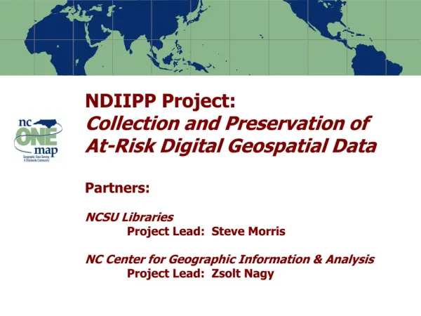
NDIIPP Project:North Carolina Geospatial Data Archiving ProjectPartners:NCSU LibrariesProject Lead: Steve MorrisNC Center for Geographic Information & AnalysisProject Lead: Zsolt Nagy
Project Context • Partnership between university library (NCSU) and state agency (NCCGIA) • Focus on state and local geospatial content in North Carolina (statedemonstration) • Tied to NC OneMap initiative, which provides for seamless access to data, metadata, and inventory information • Objective: engage existing state/federal geospatial data infrastructures in preservation Note: Percentages based on the actual number of respondents to each question
Targeted Content • Resource Types • GIS “vector” (point/line/polygon) data • Digital orthophotography • Digital maps • Tabular data (e.g. assessment data) • Content Producers • Mostly state, local, regional agencies • Some university, not-for-profit, commercial • Selected local federal projects Note: Percentages based on the actual number of respondents to each question
Vector data (point, line , polygon) Note: Percentages based on the actual number of respondents to each question
Time series – vector data Parcel Boundary Changes 2001-2004, North Raleigh, NC Note: Percentages based on the actual number of respondents to each question
Remote sensing data (satellite imagery) Note: Percentages based on the actual number of respondents to each question
Digital orthophotography (Aerial imagery) Note: Percentages based on the actual number of respondents to each question
Digital orthophotography (Aerial imagery) Note: Percentages based on the actual number of respondents to each question
Digital orthophotography (Aerial imagery) Note: Percentages based on the actual number of respondents to each question
Time series – Ortho imagery Vicinity of Raleigh-Durham International Airport 1993-2002 Note: Percentages based on the actual number of respondents to each question
Tabular data (combined with vector data) Note: Percentages based on the actual number of respondents to each question
Today’s geospatial data as tomorrow’s cultural heritage Note: Percentages based on the actual number of respondents to each question
Risks to Digital Geospatial Data • Producer focus on current data • Time-versioned content generally not archives • Future support of data formats in question • Vast range of data formats in use--complex • Shift to “streaming data” for access • Archives have been a by-product of providing access • Preservation metadata requirements • Descriptive, administrative, technical, DRM • Geodatabases • Complex functionality Note: Percentages based on the actual number of respondents to each question
Workplan in a Nutshell • Work from existing data inventories • NC OneMap Data Sharing Agreements as the “blanket”, individual agreements as the “quilt” • Partnership: work with existing geospatial data infrastructures (state and federal) • Technical approach • METS with FGDC, PREMIS?, GeoDRM? • Dspace now; re-ingest to different environment • Web services consumption for archival development Note: Percentages based on the actual number of respondents to each question
Rights Issues • Various interpretations of public records law • 53.9% of local NC agencies charge for data • 43.7% of local NC agencies restrict redistribution • Desire for downstream control of data • Disclaimer clickthrough; liability concerns • Filtered locations/individuals; post 9/11 issues • Restrictions on redistribution; commercial resale • Web services area in “Wild West” stage • Both content and technical agreements • GeoDRM initiative in the works Note: Percentages based on the actual number of respondents to each question
Big Challenges • Management of data versions over time • How to “get current object/metadata/DRM”? • Relation of the canonical metadata package to the ingest (and export) metadata package • Tailor to repository environment or make the acquaintance when needed? • Format migration paths (geodatabases, etc.) • Dealing with “late-late stage” products • The counterpart to the map is not just the dataset—also includes models, symbology, interpretation Note: Percentages based on the actual number of respondents to each question
Questions? Note: Percentages based on the actual number of respondents to each question