Download
1 / 1
10 likes | 146 Views
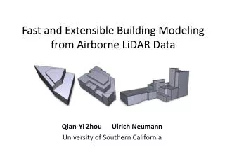
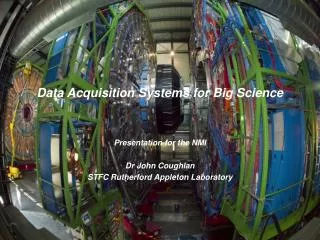
Science Data Systems for Satellite and Airborne LiDAR Data. PI: Charles Meertens, UNAVCO. Insert an eye-catching yet meaningful picture ere. If possible, show the scale of an instrument.

E N D
Science Data Systems for Satellite and Airborne LiDAR Data PI: Charles Meertens, UNAVCO Insert an eye-catching yet meaningful picture ere. If possible, show the scale of an instrument. • Provide an integrated system (NLAS) for web services-based access to distributed NASA airborne (LVIS) and satellite (ICESAT/GLAS) LiDAR data archives using OpenTopography technologies. • Define enhanced quality control (QC) metrics and a standard data format to improve evaluation of data quality, data usability, and compatibility with commercial LiDAR software packages. • Provide users access to point cloud and waveform LiDAR data, on-demand digital elevation models (DEMs) generation, and derivative products and visualizations. GLANL IceSAT data available in NLAS/RAMADDA • Working beta version of the NLAS API allowing for seamless access to remote NLAS data repositories through the Open Topography portal • Installation of NLAS/RAMADDA at NSIDC and initial data ingest. • Beta versions of network-link KMZ files to access GLAS DEM-derived imagery in Google Earth S-J. S.Khalsa, NSIDC/CU; C.Baru, SDSC/UCSD; D.Harding, B.Blair, NASA/GSFC; and M.Hofton, U.MD. TRLout= 5 TRLin= 5 30 Jun2011