Download
1 / 14
140 likes | 256 Views
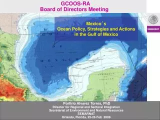
Evaluation of the NAVD 88 Using Aerogravity and Lidar Data in the Gulf of Mexico. Day: Tuesday Time: 1620 Org.: IAG Session: G2 Paper #: 200. Authors Daniel R. Roman (NGS), John Brozena (NRL), Scott Luthcke (GSFC), Yan Ming Wang (NGS), Vicki Childers (NRL), J. Bryan Blair (GSFC)

E N D
Evaluation of the NAVD 88 Using Aerogravity and Lidar Data in the Gulf of Mexico Day: Tuesday Time: 1620 Org.: IAG Session: G2 Paper #: 200 Authors Daniel R. Roman (NGS), John Brozena (NRL), Scott Luthcke (GSFC), Yan Ming Wang (NGS), Vicki Childers (NRL), J. Bryan Blair (GSFC) Support Staff NRL: Sandy Martinka, James Jarvis, Robert Liang, GSFC: David Rabine, Hannes Greim, Michelle Horton
DISCUSSION OUTLINE • Overview • Collection Mission • The NAVD 88 Datum • Future Plans • Conclusions
OVERVIEW • Existing vertical datum for U.S., NAVD 88, has meter-level bias and trend problems • Altimeter profiles across Great Lakes • Comparisons to GRACE-based EGM’s • Use GRACE-based EGM’s enhanced by local gravity for datum definition • Need to ensure the gravity data are consistent and seamless • From offshore to onshore (shipborne vs. terrestrial groups) • Fill in gapped regions and edge regions • Gravimetric Geoid + MDT = Observed Mean Sea Surface • Need open-ocean lidar observations for MDT • Can validate this approach at coastal stations (TBM’s) • Benefits: more accurate coastal heights, improved emergency and coastal management, validation of satellite missions (on a larger scale)
tidal benchmarks with a NAVD88 tie tidal benchmarks without a NAVD88 tie
Future Efforts • Aerogravity must be downward continued or otherwise combined with existing surface gravity data • Lidar data must be finalized • Mean Dynamic Topography model developed • The models need to be compared for mutual validation: Geoid + MDT + Tide = lidar-obs instantaneous sea surface • The next study area will flow from the Florida panhandle through Louisiana into Texas along the Gulf coast • MDT issues aren’t as severe there, but terrestrial subsidence issues are very significant in Louisiana • Proof of concept for a larger production in FY08 and beyond
Conclusions • Significant errors exist within the NAVD 88 • Similar magnitude errors could exist within EGM96 or other EGM’s • Future EGM’s will directly impact the gravimetric geoid solutions at the long to intermediate wavelengths • Seamless gravity data is needed from deep ocean onto shore and off the opposite national coast(s) to resolve shorter wavelengths • Resulting gravimetric models can be studied in the context of MDT models to determine the best fitting littoral geoid • The implication then would be that these models would also be suitable in the interior • Such geoid models will better resolve orthometric heights and provide an improved relationship between oceanographic and terrestrial applications