Download
1 / 18
180 likes | 280 Views
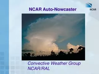
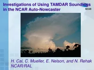
This study aims to enhance short-term weather predictions by incorporating TAMDAR data into the NCAR Auto-Nowcaster system. The Auto-Nowcaster provides nowcasts of storm initiation by detecting and extrapolating surface convergence boundaries that trigger thunderstorm formation and influence storm evolution.

E N D
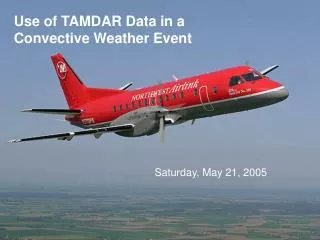
Application of TAMDAR data in the NCAR Auto-Nowcaster Eric Nelson – Research Applications Laboratory / National Center for Atmospheric Research GFLE meeting 8-25-2005
Goal: Incorporate TAMDAR data into a short term forecast system • IHOP High Resolution instability analyses • NCAR Auto-Nowcaster short-term (0-2hour) forecast system • VDRAS explicit forecast system
IHOP instability analyses • Uses available soundings
IHOP instability analyses • Uses available soundings • METAR and mesonet observations
High Resolution CAPE & CIN • All available surface observations are lifted against the nearest available sounding to obtain CAPE and CIN. • CAPE and CIN values are then interpolated to a grid.
The Auto-nowcaster System is unique in its ability to providenowcasts of storm initiationby….. Detection and extrapolation of surface convergence boundaries …. ….that trigger thunderstorm initiation and impact storm evolution.
Initiation nowcasts extrapolation nowcasts Example of Auto-Nowcaster Initiation Forecast 1 hour forecast Verification
Predictor Fields Cumulus development Boundary characteristics Satellite Cloud Typing B-L characteristics Storm motion and trends Large-ScaleEnvironment
Flow Chart for the Auto-Nowcaster System Data Sets Radar WSR-88D Satellite Mesonet Profiler Sounding Numerical Model Lightning Predictor Fields Fuzzy Logic Algorithm - Membership functions - weights - Combined likelihood field Forecaster Input Analysis Algorithms Final Prediction
Environmental conditions (RUC) Frontal likelihood Layered stability CAPE (max between 900 and 700 mb) Mean CIN (975 to 900 mb) Mean 875 to 725 mb Relative Humidity Boundary-layer Convergence LI (based on METARS) Vertical velocity along boundary Boundary-relative steering flow New storm development along boundary Clouds Clear or Cumulus Vertical development as observed by drop in IR temps Predictor Fields used for Combined Likelihood of Initiation Blue Regions - Little chance of storm development Green Regions - Moderate likelihood Red Regions - Areas of forecast initiation
grid mesonet station sounding station radar profiler Boundary-layer VDRAS Variation Doppler Radar Assimilation System Retrieval of boundary-layer winds from single Doppler radar data • Cloud model and its Adjoint with 4DVAR • Boundary layer winds and thermodynamics • Dual-processor DELL • Analysis every 6-12 min • Horizontal resolution 2-4 km (depending on domain size) • Vertical resolution 250 m up to 3 km
Full – Trop VDRAS (explicit forecast of convection) Reflectivity Deep domain and ideep = 1 • A short forecast cycle added between two assimilation cycles. • A recursive filter algorithm similar to that used in WRF/MM5 is implemented. • Equations for prediction of microphysical variables (rain water and total liquid water) are added to the system, so that VDRAS can be applied to the full troposphere.
Real-Time Explicit Forecast of Convection VDRAS Crook and Sun July 22nd, 2004
Ongoing work • Analyze TAMDAR soundings • Modify stability fields within Auto-Nowcaster to inlcude TAMDAR data • Assimilate TAMDAR soundings into explicit VDRAS forecast
Many Thanks! • Cindy Mueller, Rita Roberts, Tom Saxen, Huaqing Cai, Andrew Crook, Jenny Sun, Ying, Zhang, Nancy Rehak, Sue Dettling,