Download
1 / 9
90 likes | 255 Views
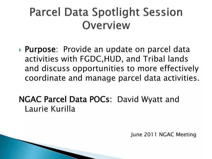
Parcel Data Spotlight Session Overview. Purpose : Provide an update on parcel data activities with FGDC,HUD, and Tribal lands and discuss opportunities to more effectively coordinate and manage parcel data activities. NGAC Parcel Data POCs : David Wyatt and Laurie Kurilla.

E N D
Parcel Data Spotlight SessionOverview • Purpose: Provide an update on parcel data activities with FGDC,HUD, and Tribal lands and discuss opportunities to more effectively coordinate and manage parcel data activities. NGAC Parcel Data POCs: David Wyatt and Laurie Kurilla June 2011 NGAC Meeting
Parcel Spotlight Presenters • FGDC Cadastral SubCommitteeActivities: • Don Buhler, Bureau of Land Management • Jon Sperling, Dept of Housing and Urban Development • Tribal Land Records Activities: • Richard Moore, Office of the Asst Secretary for Indian Affairs (DOI) • David Wyatt, Eastern Bank of Cherokee Indians
Parcels Land parcel databases, which are also known as cadastres, describe the rights, interests, and value of property. . Ownership of land parcels is an important part of the financial, legal, and real estate systems of a society. Clear private ownership of land allows entrepreneurs to launch successful businesses by borrowing against their real assets;
Parcels continued… The aggregate set of land parcels represents the distribution of the real property assets of a community and its ownership, forms the basis for all land use and zoning decisions, and represents the location of residences, businesses, and public lands. In other words, almost every aspect of government and business can be associated with a land parcel.
Parcels continued… • Land ownership has been critical to the economic and philosophical development of this country. • All individual freedoms tie back to individual property rights. • The right to vote in the United States was originally restricted to those who owned property and, it was felt, had a stake in the government.
Nine Parcel-Related Recommendations from NRC in 2008 1. A panel should decide whether the BureauofLandManagement can be the lead federal agency. 2. The Federal Geographic Data Committee should consider the parcel as a basic resource for various OMB A-16 mandated data themes. 3. A Federal Land Parcel Coordinator should be empowered to develop and maintain a single database of land parcels owned or managed by the federal government. 4. A National Land Parcel Coordinator should be established to develop and oversee a land parcel data business plan for the nation including federal, local, state, and tribal partners.
5. An Indian Lands Parcel Coordinator should be established by the Office of Special Trustee for Tribal Lands. 6. Congress and the Census Bureau should explore modifying Title 13 so that building addresses and coordinates can be made public. 7. State Coordinators should be established in each state to develop plans and relationships with local government. 8. The National Land Parcel Coordinator should develop an intergovernmental funding program for the development and maintenance of parcel data, including incentives to participate for those counties with fully-developed systems and financial support for those who do not. 9. Local government is expected to put into the public domain both parcel geometry and a very limited set of attributes. This should become a minimum requirement to receive federal funds directly associated with property, such as disaster relief.
Title 13 Recommendation Details • RECOMMENDATION 6. Congress and the Bureau of the Census should explore potential policy options, including modifications to Title 13, that would allow its digital data on building addresses and their geographical coordinates to be placed in the public domain while also maintaining important privacy protections. If publicly available, these street addresses and coordinates could be used to assist in the development of parcel data in areas where parcel data sets do not exist
October 2008 • DECISION: NGAC endorsed recommendations in NRC report, and identified a set of comments related to the recommendations • RECOMMENDATION: NGAC recommends that immediate action be taken on Recommendation #1 in the NRC report (review of authorities; designation of land parcel coordinator) • RECOMMENDATION: NGAC recommends that FGDC, through the Cadastral Subcommittee, convene a stakeholder group to address parcel data issues related to the mortgage crisis.