Download
1 / 26
280 likes | 378 Views
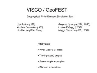
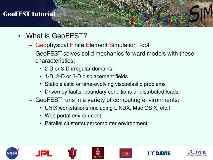
GeoFEST tutorial. What is GeoFEST? Geo physical F inite E lement S imulation T ool GeoFEST solves solid mechanics forward models with these characteristics: 2-D or 3-D irregular domains 1-D, 2-D or 3-D displacement fields Static elastic or time-evolving viscoelastic problems

E N D
GeoFEST tutorial • What is GeoFEST? • Geophysical Finite Element Simulation Tool • GeoFEST solves solid mechanics forward models with these characteristics: • 2-D or 3-D irregular domains • 1-D, 2-D or 3-D displacement fields • Static elastic or time-evolving viscoelastic problems • Driven by faults, boundary conditions or distributed loads • GeoFEST runs in a variety of computing environments: • UNIX workstations (including LINUX, Mac OS X, etc.) • Web portal environment • Parallel cluster/supercomputer environment
GeoFEST tutorial • GeoFEST Documentation and Learning Materials • GeoFEST User’s Guide • GeoFEST Introductory web page
GeoFEST tutorial • Steps for running GeoFEST: • Create grid geometry • Enter boundary conditions, faults • Enter material properties, time stepping • Run problem • Plot, visualize results
GeoFEST tutorial • Using the web portal environment to create and run a typical 3-dimensional model • Use web portal to draft domain layers and boundaries • Using portal, add fault(s) to domain • Generate grid points and elements with desired refinement • Provide supplemental information on boundary conditions, material properties, time stepping, etc. • Submit run to GeoFEST for execution • Examine and visualize results
GeoFEST tutorial • Select the GeoFEST code in portal Select code Select host
GeoFEST tutorial • Create the desired geometry Enter dimensions and properties Create layer(s) Create faults(s) Create initial mesh Plot results
GeoFEST tutorial • Check the generated geometry Pre-mesh view of layers and faults Zoom and rotate view
GeoFEST tutorial • After performing initial meshing of domain Status of meshing Look at resulting mesh
GeoFEST tutorial • Viewing initial meshing of domain Faults and volumes coarsely resolved Rotate views
GeoFEST tutorial • Requesting refined meshing of domain Status of refinement progress Interface controls
GeoFEST tutorial • Viewing refined meshing of domain Better resolved
GeoFEST tutorial • Running prepared GeoFEST model Enter additional run parameters and boundary conditions Run GeoFEST
GeoFEST tutorial • Monitoring status of GeoFEST job execution Process running GeoFEST Job Monitor portal tab
GeoFEST tutorial • Accessing completed GeoFEST results files ASCII input file ASCII output file
GeoFEST tutorial • Plotting, visualization of results via web portal
Questions? Greg Lyzenga (Gregory.A.Lyzenga@jpl.nasa.gov) Jay Parker (Jay.W.Parker@jpl.nasa.gov) Marlon Pierce (mpierce@cs.indiana.edu) Supported by the Computational Technologies Program of NASA's Earth Science Technology Office