Download
1 / 5
60 likes | 673 Views
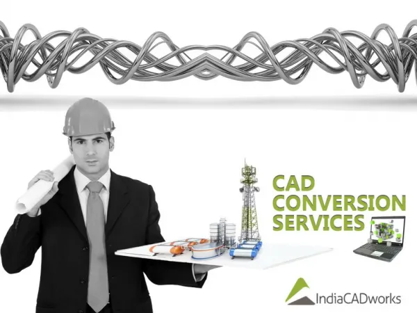
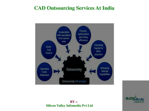
CAD drawings are the suitable way to document technical drawings and related information in a well organized manner. CAD combined with Geographic Information System(GIS) enables data to be analysed geographically and this technique offer various services. This slide gives you an idea about some of the GIS CAD Services offered by SBL Geomatics. SBLEGOMATICS offers quality outputs for clients around the globe in the field of CAD conversion services that ranges from GIS to CAD format conversion, CAD to GIS format conversion, CAD Drafting, paper to CAD conversions etc. with precision

E N D
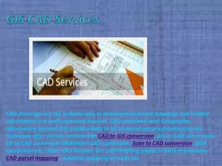
GIS CAD Services CAD drawings are the suitable way to document technical drawings and related information in a well organized manner. CAD combined with Geographic Information System(GIS) enables data to be analyzed geographically and this technique offer various services like CAD to GIS conversion, GIS to CAD conversion, 2D to CAD conversion Multilayer CAD conversion, Scan to CAD conversion, DGN conversion etc. Other CAD Services are CAD Drafting, paper to CAD conversions, CAD parcel mapping, cadastral mapping services etc.
CAD PARCEL MAPPING Parcel Mapping is one of the important service of Geographic Information System. Parcel mapping services are done and delivered in a digital format and stored in a database. We can store any number of information in the database. The process include the following steps.» Scanning of the paper map» Identify ground control points» Geo referencing of the scanned map» Design of the database» Digitization
CONVERSION OF GEOSPATIAL DRAWINGS The project is an ongoing data conversion work for major oil companies who are engaged in exploration activities. The main activities involved are conversion of point, line and polygon data for various geophysical tests such as gravity, magnetic as well as electrical conductivity including well logging and integration of its attribute datasets to these drawings to serve it as a geospatial database for oil field inventory.
PAPER TO CAD CONVERSION Paper to CAD conversion is one of the prominent service to a wide range of customers in the field of architectural, mechanical, structural and civil engineering The paper drawings are converted into various CAD formats. The output file can be given in the form of dgn, dwg, shp, dxf format. The layering and standards are decided according to the specifications of clients.
For more details visit :- http://www.sblgis.com/cad-servicesContact us :- SBLSri Niketan , Palace No. 10,Cochin Kerala -682301, India mail:-gayathril@sblinfo.com Ph - 91 484 2784057Fax - 91 484 2784056