Clouds
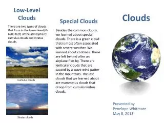
Low-Level Clouds. Clouds. Special Clouds. There are two types of clouds that form in the lower-level (0-6500 feet) of the atmosphere: cumulus clouds and stratus clouds.

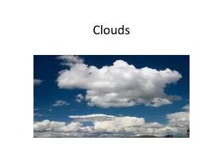
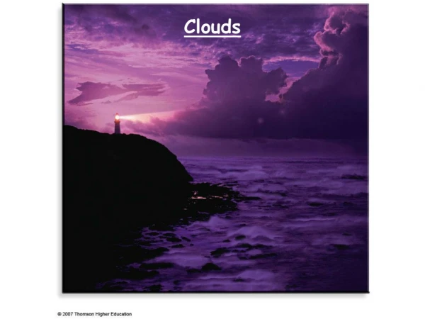
Clouds
E N D
Presentation Transcript
Low-Level Clouds Clouds Special Clouds There are two types of clouds that form in the lower-level (0-6500 feet) of the atmosphere: cumulus clouds and stratus clouds. Besides the common clouds, we learned about special clouds. There is a green cloud that is most often associated with severe weather. We learned about contrails. These are left behind after an airplane flies by. There are lenticular clouds that are caused by a wave wind patter in the mountains. The last clouds that we learned about are mammatus clouds that droop from cumulonimbus clouds. http://upload.wikimedia.org/wikipedia/commons/thumb/3/3cGoldenMedows.jpg/300px-GoldenMedows.jpg Cumulus clouds Presented by Penelope Whitmore May 8, 2013 http://urbanext.illinois.edu/kalani/images/18_stratus2.jpg Stratus clouds
Vertical Development Clouds High-level Clouds Mid-level Clouds There are two types of clouds that form in the mid-level (6500-20,000) of the sky, they are altostratus clouds and altocumulus clouds. There are three types of clouds that form in the high-level (20,000 and up) of the sky, they are cirrus clouds, cirrostratus clouds, and cirrocumulus clouds. Cumulonimbus clouds are a little different than all of the other clouds because they grow vertically, rather than horizontally. Because of how they grow, cumulonimbus clouds are in each level of the sky. They sort of look like the explosion of an atomic bomb. Cirrus clouds http://upload.wikimedia.org/wikipedia/commons/thumb/2/2e/CirrusField-color.jpg/300px-CirrusField-color.jpg http://www.eo.ucar.edu/kids/sky/images/Peggy002_sm.jpg Cirrostratus clouds Altostratus clouds http://www.windows2universe.org/earth/Atmosphere/images/cirrus6_small.jpg Cirrocumulus clouds http://4.bp.blogspot.com/-S3KAyNSVJ3I/Tt5zgOel5wI/AAAAAAAAANI/U2wq_4ELLM4/s1600/Cumulonimbus2.jpg Cumulonimbus cloud http://upload.wikimedia.org/wikipedia/commons/thumb/1/13/Altocumulus.jpg/300px-Altocumulus.jpg http://img40.imageshack.us/img40/3135/hotlinking.png Altocumulus clouds