Download
1 / 11
110 likes | 340 Views
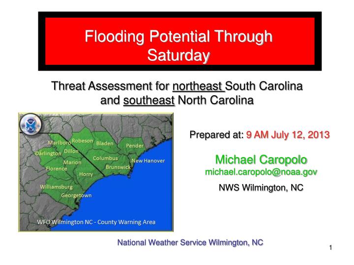
Flooding Potential Through Saturday. Threat Assessment for northeast South Carolina and southeast North Carolina. Prepared at: 9 AM July 12, 2013. Michael Caropolo michael.caropolo@noaa.gov NWS Wilmington, NC. National Weather Service Wilmington, NC . Expected Impacts.

E N D
Flooding Potential Through Saturday Threat Assessment for northeast South Carolina and southeast North Carolina Prepared at: 9 AM July 12, 2013 Michael Caropolomichael.caropolo@noaa.gov NWS Wilmington, NC National Weather Service Wilmington, NC
Expected Impacts Rainfall:Widespread showers with heavy rain and some thunderstorms are expected through this evening. Average rainfall amounts across the area will be near 2 inches. However...where showers repeatedly move over the same area...amounts could easily exceed 4 inches. More heavy rain is possible on Saturday. Given soils are wet to saturated from near record rainfall over the last several weeks...flooding is likely. This is not only true in urban areas...but in rural areas where rivers are still in flood and small streams and creeks are swollen. Low-lying and poor drainage areas and areas along and near streams...creeks... ponds and drainage canals will be especially susceptible to flooding. Synoptic features:An upper low over the Ohio valley will retrograde back across KY and TN as an Atlantic upper ridge strengthens. The area will be solidly within the tropical plume of moisture where precipitable water values are over 2 inches. Also...shortwave energy rotating around the upper low is expected to enhance lift and this will lead to widespread heavy rainfall. In areas where slow moving convection repeats over the same general area...flooding is likely. Flooding:The potential for areal and river flooding will increase through the weekend. A flood watch is in effect through Midnight tonight…expect this watch to extend into Saturday later today.River flooding will become an issue again with additional runoff. Five area rivers are already in flood stage and will be impacted by the additional rainfall. Moderate flooding is now expected on some area river. National Weather Service Wilmington, NC
National Weather Service Radar More heavy rain Will be moving across the area this morning. Rain is moving to the NE and the area is also sliding to the East. National Weather Service Wilmington, NC
Weather Prediction Center Rainfall Outlook • Flood Watch is in effect through Midnight. • Consistent from yesterday with 1-3 inches expect today and Saturday with isolated • higher amounts. • Areal flooding and river flooding will be the major threats. • Severe weather impact not expected. • Isolated wet downburst possible today and Saturday. Weather Prediction Center – Valid from 8 am July 12 – 8 am July 14 National Weather Service Wilmington, NC
Synoptic Overview Friday 2 pm Saturday 8 am Advancing cold front will stall across east central NC late today. Tropical moisture will interact with this boundary resulting in training of storms and showers that will produce areas of heavy rain into Saturday. National Weather Service Wilmington, NC
Selected River Forecast – Waccamaw near Conway The Waccamaw River near Conway is expected to reach 13 ft Saturday. The river is in moderate flooding now and will continue into next week NO CHANGES IN STAGE HEIGHT FROMTHURSDAY. At 13 feet impacts will be…Flooding will occur along Business 501 and Highway 905 to the east. Water levels one foot deep will affect approximately 20 homes in the Savannah Bluff area. Flood waters will also affect homes in the Lees Landing, Pitch Landing and Riverfront South communities. Flooding will occur at a few homes on Oak Street as well as at Punch Bowl and Pitch Landing. Swamps will be heavily flooded. National Weather Service Wilmington, NC
Selected River Forecast – Lumber River at Lumberton The Lumber River at Lumberton is now expected to reach 16 ft Saturday. This is an increase of .4 ft from Thursday and would put the river at moderate flooding. The river will stay in flood stage into next week NEW At 16 feet impacts will be…Flooding worsens in the Pines and Coxs Pond Areas as well as along River Road. Flooding also worsens between the Pepsi Plant and the river on the east side of town. In addition...Chickenfoot Road...Hestertown Road and Noir Street will have flood waters on them. National Weather Service Wilmington, NC
Selected River Forecast – Pee Dee River at Pee Dee The Pee Dee River at Pee Dee is now expected to reach 23.6 ft by Monday. This is an increase of almost a foot since Thursday. The river will enter moderate flooding by mid day Saturday and remain at this level into mid week. At 23 feet impacts will be…Flooding will affect swamp and timberlands while also disrupting logging operations. Operations will likely cease and equipment not previously moved will remain trapped. Some farmland will have minor flooding especially around Britton Neck. National Weather Service Wilmington, NC
Selected River Forecast – Pee Dee River near Galivants Ferry The Pee Dee River near Galivants Ferry is expected to reach 10.4 ft by Tuesday. The river is in minor flooding and will remain in minor flooding through most of next week. At 11 feet impacts will be… Flood waters will continue to rise in the Fork Retch community located near Nichols. Flood waters will begin to affect some homes at Fork Retch. Swampland flooding will increase. At 9 feet impacts will be…Flood waters will begin to affect residential yards in the Fork Retch community upstream of Galivants Ferry near the town of Nichols. Swampland flooding becomes noticeable and natural boat landings will be flooded. National Weather Service Wilmington, NC
Selected River Forecast – N.E. Cape Fear River near Burgaw The N.E. Cape Fear River near Burgaw is receding and was at 9.2 ft at 7:30 am. It is expected to stay below 10 ft through Saturday but then rise to over 10 feet on Sunday and into minor flood. The river will reach minor flood stage Sunday morning and peak at 10.5 feet mid day Tuesday and remain in minor flooding for most of the week. At 10. 5 feet impacts will be…flood waters will cause minor flooding of Croomsbridge road and Old Maple Hill road. Some roads in River Bend and River Birch subdivisions become impassable. At 10 feet impacts will be…minor flooding of roads in the river bend and river birch subdivisions. Flooding of Croomsbridge road begins west of the bridge over the river. National Weather Service Wilmington, NC