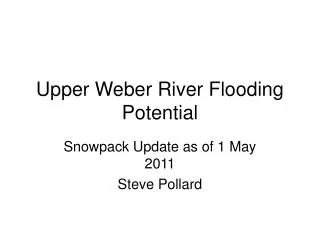
Upper Weber River Flooding Potential
60 likes | 166 Views
Stay informed about the Upper Weber River snowpack levels, potential flooding risks, and historical data. Learn about the impact of record snowpack years, flood stages, and forecasts. Prepare for potential flooding with insights on past floods, current conditions, and recommended preparations. Understand the significance of cool spring weather, snowpack levels, and the forecast for warmer weather. Take proactive steps to protect against potential flooding in the Upper Weber River area.

Upper Weber River Flooding Potential
E N D
Presentation Transcript
Upper Weber River Flooding Potential Snowpack Update as of 1 May 2011 Steve Pollard
Colorado River Basin Forecast Center Snow Pack Sites Relevant to Upper Weber River Smith and Morehouse (7600’) Hayden Fork (9100’) Trial Lake (9960’) Beaver Divide (8280’) Snow Pack Data Available 1979-2011
1 May 2011, 2010, and past peak snow pack years (1986,1984, 1980) 2011 in Uncharted Territory 2011 in Uncharted Territory 332% 701% 2011 in Uncharted Territory Just below 1986 Record 243% 179%
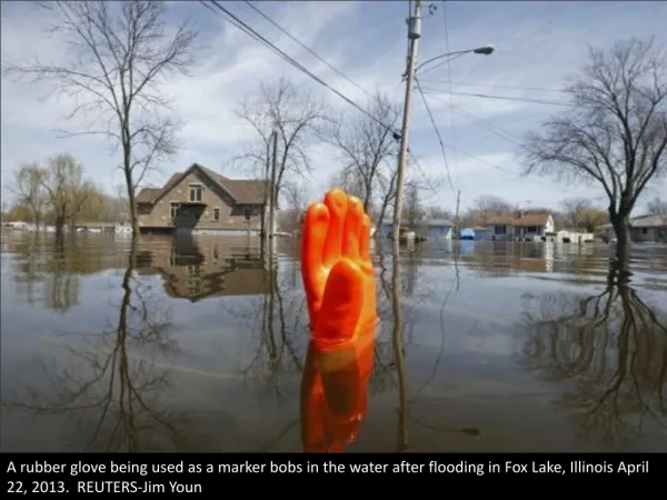
What Happened to Weber Riverin 2010, 1986, 1984 and 1980 1986 Flood 2010 Flood 1984 Flood Flood Stage 1980 Did Not Flood • Upper Weber River Flooded in two of three (1984/1986) top snow pack years since 1979 • Weber River Flooded in 2010 even though it was a normal snow pack year. Cool Spring played a large role. • In 2011 we have the double whammy of record snowpack and cool Spring.
Where are we now? Forecast for warmer weather should start the melting process. Weber River will start to run above normal. Weber is running below Average due to cold weather
Conclusions • Snow pack in Uintahs above Hidden Lake is running way above normal. Late warm weather has not helped. • 179% to 701% of normal • Record snowpack for past 32 years in 3 of four locations. • Upper Weber River usually floods during record snow pack years • High potential for greater flooding than in 2010 • 2010 flooding caused significant damage to HLA infrastructure • Recent culvert upgrades, sand bagging and berms are a good start • Additional preparation is warranted • More sandbags if the county will cooperate • Stage extra bags where they can be deployed to trouble areas • Additional clearing of brush drainage ditches