Download
1 / 19
190 likes | 204 Views
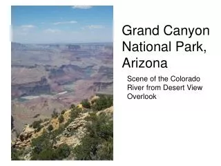
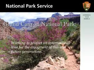
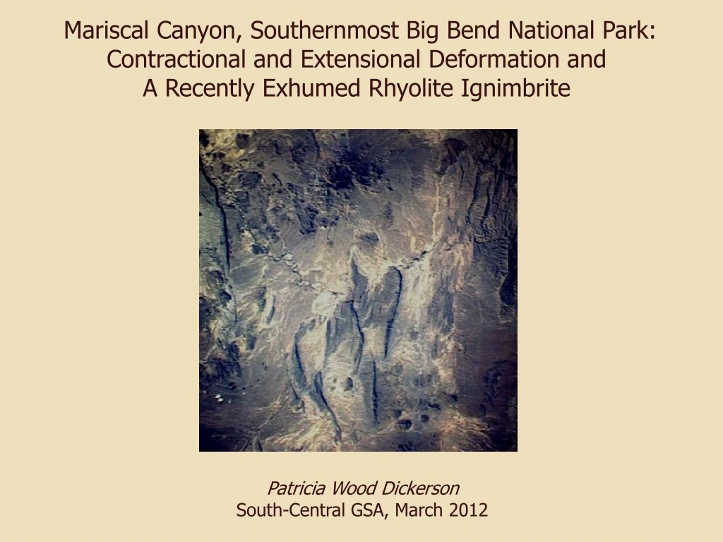
Mariscal Canyon, Southernmost Big Bend National Park: Contractional and Extensional Deformation and A Recently Exhumed Rhyolite Ignimbrite. Patricia Wood Dickerson South-Central GSA, March 2012. Mariscal Canyon — Talley to Solis. Lower Cretaceous Stratigraphy.

E N D
Mariscal Canyon, Southernmost Big Bend National Park: Contractional and Extensional Deformation and A Recently Exhumed Rhyolite Ignimbrite Patricia Wood Dickerson South-Central GSA, March 2012
Lower Cretaceous Stratigraphy Santa Elena - massive limestone cliff-former Sue Peaks - shale & thin limestone slope-former Del Carmen - massive limestone cliff-former Confirmed exposures of Kdc and Ksp in Mariscal Mountain. Ksp somewhat thinner than in Sierra del Carmen, Santa Elena Canyon.
Rio Grande Flooding, September 2008 Boquillas Hot Springs - note bathhouse
Thrust Fault in Central Canyon North riverbank – exhumed by flooding Ksp and Kse are thrust, overturned to E Thrust is cut by N-striking normal fault; thin-bedded, overturned Ksp against massive, near-horizontal Kse; thick breccia carapace Ksp is oldest unit at river level on N bank
Thrust Fault & Normal Fault, Central Canyon River flows in WNW-striking normal fault that cuts thrust. South bank is upthrown, exposing thrusted Kdc, Ksp & Kse. Kdc is not present on north riverbank and was not seen east of this reach of the Canyon.
Cross Canyon - View NW Kse rolling over along thrust crest, dips to ~30° E Kbo folded to east of thrust
Newly Exhumed Ignimbrite (gray, foreground) • Densely welded rhyolite tuff • Dips 25 degrees SSW • Discordant with respect to • deformed Cretaceous strata • N contact buried beneath sand • and gravel; E, S & W contacts • submerged • Probable remnant of more • extensive deposit, preserved • in depression in K rocks • Foundered into a solution- • collapse cavity? (common on • Mariscal Mt.) • Let down due to undercutting • by the river & removal of • fractured, less resistant K rock?
Solution Collapse Features – Foundered Rhyolite Sill, NE Flank of Mariscal Mt. (Dickerson et al., 2010, BEG Misc. Map 48)
Cross Canyon — Fold in Footwall of N-Striking Thrust Kbu in fold flank Kbu and folded Kbo
Slickensided Fault Wall, Flower Structure L-L fault, striae rake 40° SE Fault breccia at striated wall
Eastern Flower Structure Fault Kse dips 11º SW east of fault, 21º WSW on west Contractional fault at cliff base Undulating shear planes
Western Flower Structure Fault Variable S and W dips on slabs between shears 1 or 2 m vertical offsets Contractional fault at lower left Horizontal Kse approaching flower structure from W
Flower Structure Diagram (Goetz in Goetz & Dickerson, 1985)
Eastern Range-Front Fault Kbo downdropped against Kse on normal fault Kse dips 12° E, Kbo dips 14 ° E
Mariscal Canyon – more to explore… Thanks to Commander & Crew: Marcos Paredes, NPS Jim Bones Mary Bridges Bones