Improving Intraurban Land Use with Nighttime Imagery
10 likes | 106 Views
This research evaluates the use of nighttime images captured from the International Space Station (ISS) to enhance modeling of intraurban land use patterns. By analyzing the correlation between city lights in Denver, Colorado, as seen in ISS photographs and land use patterns, the study suggests that finer spatial and spectral resolution imagery can help identify and classify urban land use more effectively. While initial results did not outperform existing models using coarser imagery for population density estimation, incorporating ISS imagery with additional variables improved predictability. This study highlights the potential of nighttime imagery for understanding complex urban phenomena. It concludes that global mosaics of nighttime imagery could offer valuable insights into human impacts on the environment. Researchers suggest that these spatially explicit measurements have the potential to revolutionize urban land use modeling.

Improving Intraurban Land Use with Nighttime Imagery
E N D
Presentation Transcript
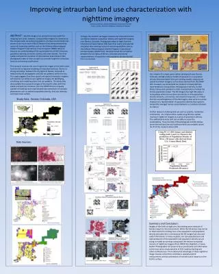
ABSTRACT: Satellite imagery has proved to be very useful for mapping land cover; however, using satellite imagery to characterize the complex land use and zoning patterns of urban environments has proven to be much more difficult. Research has demonstrated that nocturnal observing satellites such as the Defense Meteorological Satellite Program’s Operational Linescan System (DMSP OLS) can improve our understanding of the spatial patterns of CO2 emissions, population density, economic activity, and urban extents. The finer spatial and spectral resolution of International Space Station (ISS) photographs taken of cities at night can provide insight for intraurban land use and zoning classification. This research assesses the use of night time images of the earth taken from the ISS to improve modeling of intraurban land use. There is a strong correlation between the city lights of Denver, Colorado as measured by ISS photographs and land use patterns within the city. This study suggests that finer spatial and spectral resolution imagery will improve our ability to use nighttime imagery for identifying, classifying, and modeling urban land use patterns. This study may demonstrate that nocturnal images of the world’s cities with finer spatial and spectral resolution than the DMSP-OLS are uniquely capable of enabling more sophisticated representations of complex phenomena such as ambient population density, land use intensity, and impervious surface. To begin the research we began mapped and characterized the correlation between population density and nighttime imagery over Denver, Colorado. Photographs taken at night from the International Space Station (ISS) have finer spatial and spectral resolution than existing nocturnal observing satellites such as the Defense Meteorological Satellite Program’s Operational Linescan System (DMSP OLS). We determined the correlation between the city lights of Denver, Colorado and several representations of population and population density derived from census data. Our analysis of a single space station photograph over Denver, Colorado, did not produce models of population or population density that were better than pre-existing models using coarser spatial resolution imagery such as those derived from the DMSP OLS. However, we constrained our study to narrowly defined representations of population and population density. United States Census data produces a static representation of where the human population sleeps. The ISS imagery has high DN values in many places where census data records low or zero population density (airports, commercial, and industrial areas etc.). It is likely that the overall brightness of the ISS imagery does serve as a proxy measure of a representation of population density that captures temporally averaged human spatial behavior as Landscan attempts to capture. Further research involving land use such as airports, residential, commercial, etc. improved the model using ISS finer spatial resolution nighttime imagery as a proxy of population density. This additional dummy land use variable increase the predictability. Thus, the PCA of ISS photograph and the Denver parcel derived land use and traditional land use variables raised the R2 of the model to about 30% Improving intraurban land use characterization with nighttime imagerySharolyn Anderson, Assistant Professor, University of Denver Paul C. Sutton, Associate Professor, University of Denver Study Area: Denver, Colorado, USA Data Sources: Summary and Conclusion: Images of the Earth at night are a fascinating proxy measure of human impact on the environment. While the ISS photos may not be an ideal means for making intra-urban population and population density estimates this is not because the ISS images lack vital and useful information. In many respects, our conceptualizations and representations of the population and population density we are trying to model are perhaps antiquated. We believe that global mosaics of nighttime imagery (from DMSP OLS, NightSat, or Space Station Photographs) will prove to be as provocative and informative as the time series measurements of CO2 made by Keeling and others at Mauna Loa. The fundamental advantage of these nighttime image mosaics is that they constitute a spatially explicit measurement and documentation of myriad human impacts on the Earth’s surface.