Download
1 / 29
290 likes | 496 Views
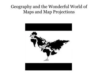
Geography and the Wonderful World of Maps and Map Projections. Why Do We Need Differe nt Types of Maps?. A map projection is any method of representing the surface of a sphere or other three-dimensional body on a plane . Map projections are necessary for creating maps . .

E N D
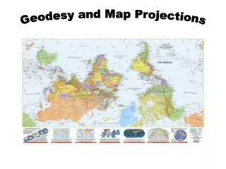
Geography and the Wonderful World of Maps and Map Projections
Why Do We Need Different Types of Maps? • A map projection is any method of representing the surface of a sphere or other three-dimensional body on a plane. Map projections are necessary for creating maps. All map projections distort the surface in some fashion. Depending on the purpose of the map, some distortions are acceptable and others are not; therefore different map projections exist in order to preserve some properties of the sphere-like body at the expense of other properties. There is no limit to the number of possible map projections.
What do Maps Projections Do? • Preserving direction (azimuthal), a trait possible only from one or two points to every other point • Preserving shape locally (conformal) some types of Mercator and Lambert • Preserving area (equal-area) • Preserving distance (equidistant), a trait possible only between one or two points and every other point. • Preserving shortest route, a trait preserved only by the gnomonic projection (This maps shows the great circles as straight lines. Thus the shortest route between two locations in reality corresponds to that on the map.) • Because the sphere is not a developable surface, it is impossible to construct a map projection that is both equal-area and conformal. • Compromise Maps – nothing is completely accurate, but nothing is severely wrong
This is a map projection often used for navigation or mapping land at the equator. It shows directions between places accurately near the equator; however, it distorts the size of the continents, especially near the poles. Created 1569 preserves angles, but can’t show the poles. Conformal Map MERCATOR
This Conformal maps preserve the shapes of small areas exactly, although the scale of the map may vary from point to point Created in 1772 LAMBERT
A circular map projection that is good for showing the areas around the North or South poles. All the distances measured from the center of the map along any longitudinal line are accurate. AZIMUTHAL
This is an equal-area map projection. It shows the sizes of the continents and the oceans correctly, but the shape of places near the poles is distorted. ECKERT IV
A popular map projection found in many textbooks, it is a favorite of teachers and students because it balances shape and size distortion, especially areas like Russia and Canada that are North of the equator, and it shows a pretty accurate picture of the world. Created in 1961. It is know as a Compromise Projection because nothing is completely accurate. ROBINSON
This map projection uses a trick to help us see how the continents compare in size. It snips out pieces of the oceans which allows the continents to stretch without distorting their shapes. However, it does distort the size and the shape of the oceans. GOODE’S HOMOLOSINE
Examples of Equal Area Projections Thematic Maps…..
If you want perfect scale and shape… Use a Globe!