Download
1 / 16
160 likes | 275 Views
Using McIDAS -X to Support the NASA SEAC4RS Field Experiment. Douglas Spangenberg , SSAI, Hampton, VA Rabi Palikonda , SSAI, Hampton, VA Louis Nguyen, NASA LaRC , H ampton VA. Introduction.

E N D
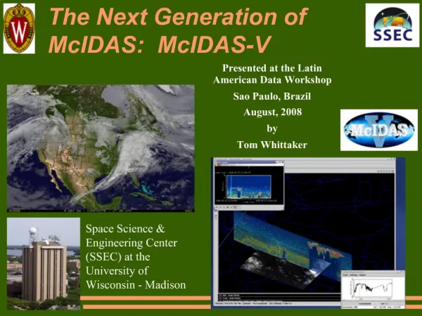
Using McIDAS-X to Support the NASA SEAC4RS Field Experiment Douglas Spangenberg,SSAI, Hampton, VA Rabi Palikonda, SSAI, Hampton, VA Louis Nguyen, NASA LaRC, Hampton VA MUG Meeting Sep 9-10 2013
Introduction SEAC4RS: Studies of Emissions and Atmospheric Composition, Clouds, and Climate Coupling by Regional Surveys (Aug-Sep 2013) *Interest in pollution, smoke, atmospheric chemistry, North American monsoon, convective cloud microphysics. • *NASA LaRC personnel on site at Ellington Field in Houston, TX running McIDAS-X on 2 Mac OS X computers. ER2 DC-8 MUG Meeting Sep 9-10 2013
McIDAS-X Tasks GUI configured for 156-166 frames with specific frame sequences for each satellite channel and domain. Scheduler run to ingest GOES data and display imagery in loop sequences; runs BATCH files. Make and display virtual graphics of plane positions, tracks, and altitudes (ZA, PATH, AIRPLANE,VIRT=, SHOWVG). Make polar orbiting satellite track maps (NAVDISP) and data (NAVCALC). Overlay lightning, radar (SATOVERLAY2), overshooting tops on imagery. Use DIST command to find distance to points of interest. Obtain LAT/LON of points of interest to have theplanesfly toward. Provide cloud-top height (IMGDISPCP, BARCP). MUG Meeting Sep 9-10 2013
GUI with GOES-13 Enhanced Channel 4 Image with Plane Tracks 17:02 GMT Aug 23, 2013 *PATH, AIRPLANE *BAR *PC T, ZA *SHOWVG MUG Meeting Sep 9-10 2013
GUI Showing 1-km VIS from GOES-14 SRSO with Plane Tracks 17:15 GMT Aug 23, 2013 *PATH, AIRPLANE *SHOWVG *ZA MUG Meeting Sep 9-10 2013
GUI Showing 4km WV from GOES-13 with Plane Tracks 17:02 GMT Aug 23, 2013 *PATH, AIRPLANE *SHOWVG *ZA MUG Meeting Sep 9-10 2013
GUI Showing 4-km IR from GOES-13, 15 with NEXRAD Overlay Satellite: 20:02 GMT Aug 23, 2013 Radar: 20:03 GMT Aug 23, 2013 *IMGREMAP *SATOVERLAY2 (plot function) *BAR *PC T, ZA – BAR labels *MERGE_GEO MUG Meeting Sep 9-10 2013
GUI Showing 4-km IR from GOES-13 with Lightning Overlay Satellite: 21:32 GMT Aug 23, 2013 Lightning: 21:45-21:50 GMT Aug 23, 2013 *IMGREMAP *PC E * ZLM FILL *SHOWVG MUG Meeting Sep 9-10 2013
GUI Showing 4-km VIS from GOES-13 with Overshooting Tops 21:45 GMT Aug 23, 2013 *FRMLIST *PTLIST *PTDISP MUG Meeting Sep 9-10 2013
GUI Showing 4-km Cloud Top from GOES-13 14:15 GMT Aug 24, 2013 *IMGDISPCP *BARCP MUG Meeting Sep 9-10 2013
GOES-13 Image with Flight Plan for Aug 30, 2013 19:02GMT Aug30, 2013 CALIPSO *PATH *NAVDISP with TLE files ER2 DC8 MUG Meeting Sep 9-10 2013
GOES-13 5km Remapped RGB Image 16:45 GMT Aug 23, 2013 *IMGREMAP *COMBINE RED: CH1 Green: CH2-4 Blue: CH4 MUG Meeting Sep 9-10 2013
Orbital Predict for Aug 27, 2013 *NAVDISP with TLE files *PC T, ZLM – Squares in frame’s label AQUA AURA CALIPSO NPP TERRA MUG Meeting Sep 9-10 2013
DC-8 Flight Track on GOES-13 VIS Image *IMGREMAP *plot routine *ZA Image time: 19:10 GMT Aug 21 MUG Meeting Sep 9-10 2013
Flight Tracks on GOES-15 Optical Depth Image Image time: 22:00 GMT Aug 06, 2013 *IMGREMAP *plot routine *ZA *IMGDISPCP *BARCP MUG Meeting Sep 9-10 2013
Summary NASA LaRC cloud group in Houston, TX using McIDAS-X on 2 Mac OS X laptop computers to support SEAC4RS field experiment (Aug-Sep 2013) . Real-time flight positions and past 20-60 min of aircraft tracks shown on GOES VIS, IR, WV image loops. Image loopswith current and projected airplane positions used to make course adjustments for studying convective clouds, smoke. Polar orbiting satellite tracks shown to mission planning for aircraft coordination with overpass. For takeoff and landing at Ellington Field, McIDAS IR image withNEXRADand lightning overlay used. McIDAS-X helped NASA-Langley support previous field missions: ATTREX, MACPEX, TC4, CCVEX, AIRS-2, CRYSTAL-FACE. Need similar capabilities in McIDAS-V to support future field missions. MUG Meeting Sep 9-10 2013