Download
1 / 44
440 likes | 574 Views
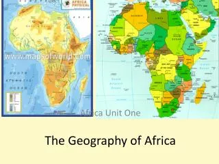
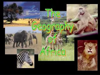
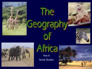
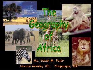
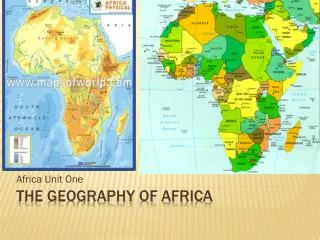
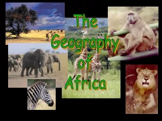
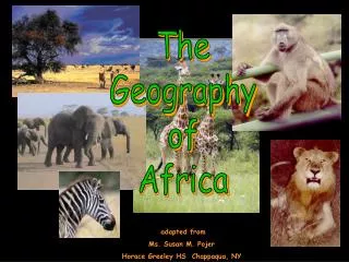
The Geography of Africa. adapted from Ms. Susan M. Pojer Horace Greeley HS Chappaqua, NY.

E N D
The Geography of Africa adapted from Ms. Susan M. Pojer Horace Greeley HS Chappaqua, NY
This copper engraved map of North Africa is from Ptolemy's Geography. Ptolemy lived and worked in Egypt prior to circa 150 AD. Such was his fame and influence for cartography that maps were recorded under his name up to and including the 17th Century. The colored original of this projection which is over 400 years and was edited by Magini and published, along with other versions, by the Heirs of Galignani in 1596.
Africa’s Size 4 6 0 0 M I L E S 5000 MILES • Second largest continent 11,700,000 sq. mi. • 10% of the world’s population. • 2 ½ times the size of the U. S.
Mediterranean Sea Bodies Of Water Red Sea NileRiver NigerRiver L. Chad--> <--Gulf of Aden L. Albert--> Congo River L. Victoria L. Tanganyika-> Indian Ocean Atlantic Ocean Zambezi River LimpopoRiver OrangeRiver Pacific Ocean
Burundi @Africa Focus, University of Wisconsin-Madison
The Congo River Basin • Covers 12% of thecontinent. • Extends over 9countries. • 2,720 miles long. • 99% of the countryof Zaire is in theCongo River basin.
The Niger River Basin • Covers 7.5% of the continent. • Extends over 10 countries. • 2,600 miles long.
Atlas Mts. Mountains & Peaks ΔMt. Kenya ΔMt. Kilimanjaro Ruwenzori Mts. Drajensburg Mts.
Libyan Desert Deserts Sahara Desert Sahel Namib Desert Kalahari Desert
Valleys & Plains Great Rift Valley
Great Rift Valley 3,000 miles long
Tropic of Cancer 20° N Africa:The“Tropical”Continent Equator 0° Tropic of Capricorn20° S
African Rain Forest • Annual rainfall of up to 17 ft. • Rapid decomposition (very humid). • Covers 37 countries. • 15% of the land surface of Africa.
Mediterranean Sea Atlas Mts. Libyan Desert The Complete Topography Of AFRICA Tropic of Cancer 20° N Sahara Desert Red Sea Sahel NileRiver NigerRiver L. Chad--> Great Rift Valley <--Gulf of Aden L. Albert--> ΔMt. Kenya Equator 0° Congo River L. Victoria ΔMt. Kilimanjaro L. Tanganyika-> Indian Ocean Ruwenzori Mts. Atlantic Ocean Zambezi River Namib Desert Kalahari Desert LimpopoRiver Tropic of Capricorn20° S OrangeRiver Drajensburg Mts. Pacific Ocean