Download
1 / 27
270 likes | 435 Views
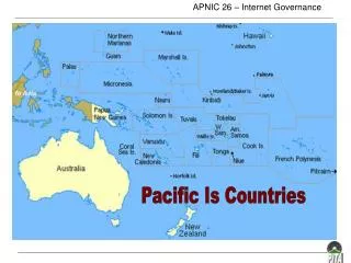
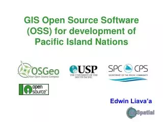
GIS for Utilities in the Pacific Island Countries. Edwin Liava’a SPC/SOPAC Technical Support – GIS/RS. Introduction. The Need Current Developments Examples Vision for the future Summary Questions. The need for GIS in Pacific Islands Utilities.

E N D
GIS for Utilities in the Pacific Island Countries Edwin Liava’a SPC/SOPAC Technical Support – GIS/RS
Introduction • The Need • Current Developments • Examples • Vision for the future • Summary • Questions
The need for GIS in Pacific Islands Utilities • The need to have a geographical overview of distributed assets • The need for an asset management tool to assist design and planning • The need for demand and supply forecasting • The need for loss reduction • The need for better service delivery to customers
Current Developments • Separation of Tabular Data from Spatial Data • Modularity • Independence • Systems integration, from Asset management to linking to ICT and other corporate systems such as OSS, DSS, Billing, etc. • Improve service delivery • Enabling technology • Customised GIS • Access Basic • MapBasic • Python/QGIS • Web Application (Geoserver, MapServer) • Systems transferable • Adaptability • Scalability
FIJI – Power GIS • FEA, Designs for new extension and upgrades to existing transmission and distribution system
FIJI – Teleco GIS • TFL, Better decision making and service delivery to customers
FIJI – Water GIS • WAF, Linking Meter location to Customers billing records
FIJI – Aerodromes GIS • AFL, Aerodromes database and wild-life grids
Kiribati – Telco GIS • TSKL, Customized GIS for finding Assets
Nauru – Water GIS • RWH, Customized GIS for rainwater harvesting
PNG – Power GIS • PPL, Customized GIS with link to Billing System
Samoa – Power GIS • EPC, Customized GIS with Web Application (MapServer)
Cook Islands – Pearl Farm GIS • MMR, Pearl farm GIS
Solomon Islands – Power GIS • SIEA, GIS for Asset Management
Tonga – Power GIS • TEPB, GIS using Satellite imagery to map assets in location not covered by existing data
Tonga – Telco GIS • TCC, GIS for asset management
Tuvalu – Power GIS • TEC, GIS for Asset Management
Tuvalu – Water GIS • PWD, GIS for Rainwater Harvesting
Vision for future developments • Systems integration, Modelling and Simulation • Power Loss Reduction (Technical and Non-Technical) • Power Load Flow Analysis • Water Supply/Pressure Flow Analysis • Network shortest path • Enterprise GIS and Standardisation • PostGIS/PostgreSQL • Web Application (WMS, WFS, Geonode, Geoserver, QGIS Server etc) • MapInfo/MapBasic • QGIS/Python • MATLAB/GNU Octave • Capacity Building, and Sharing • Programming Skills for Utilities Users • Code and Data • GNU
Power System Analysis in GIS, A New Tool for Interfacing with Geographic Information, By Hyung S. Shin, Ph.D., and Scott A. Feuerborn Systems Integration
MODEL The Island of Atlantis
SIMULATION Power loss in KWH = $
Summary • Funding • European Union • Pilot projects prior 1997 • New Zealand Government • Support up to the end of 2012 • GNU – Think “WE” not “I”