Download

1 / 23
230 likes | 251 Views
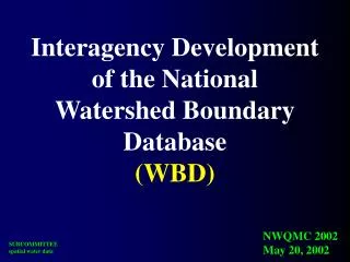
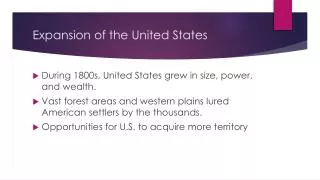
This project aims to develop a comprehensive reference set of watersheds for the United States, including various hydrologic units and subwatersheds. The initial draft was completed in December 2002, and the project status is ongoing.

E N D
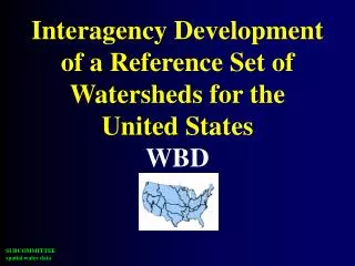
Interagency Development of a Reference Set of Watersheds for the United StatesWBD
Hydrologic Units 2-digit= 1st level = 22 regions 4-digit= 2nd level = 222 subregions 6-digit= 3rd level = 789 accounting 8-digit= 4th level = 2223 cataloging new! 10-digit= 5th level = ~22,000 watersheds 12-digit= 6th level = ~160,000 subwatersheds
GOAL: Initial “draft” completed December 2002 Project Status
Karst in Kentucky:Fifty-five percent of the statehas potential for karst. Areas shown in red have high potential for karst Areas shown in green have moderate potential for karst Areas shown in blue have limited potential for karst
Areas of Shallow Soluble Bedrock in the Conterminous States 20 percent of the area of the 48 states is underlain by karst.
Hydrologic Units of the Big Spring Basin, Missouri
WBD, a “key” part . . . Vision: Follow a drop of water from where it falls on the land, to the stream, and all the way to the ocean.
Subcommittee on Spatial Water Data Coastal Watersheds Work Group Guidelines Work Group FGDC HUC Interagency Guideline
SUBCOMMITTEE Coastal Workgroup Meeting, March, 2000 & Meeting, August , 2000 & Meeting, April 2001
coastal delineation options
coastline dependant “land limited”
coastline independent “sphere of influence”
coastline independent “whole island approach”
Issues to be resolved • Coastline – can watersheds be independent of coastline? • Estuarine systems – no clear hydrologic controls of flow. • Deltaic coastlines – streams do not converge to a point. • Barrier Islands – are they their own hydrologic unit or defined by area of influence? • Island Groups – (e.g. FL Keys, Pacific Islands, Aleutian, Tongas Nat. Forest)
NOAA/NOS Implementation • Pilots • Coastal delineation guidance • state/coast implementation • Assisting state groups • Workshops • Data and data manipulation • One-on-one with States