1 / 6

A Framework for Geospatial Applications and Decision Support for the Northern Gulf Institute

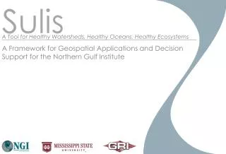
Sulis. A Tool for Healthy Watersheds, Healthy Oceans, Healthy Ecosystems. A Framework for Geospatial Applications and Decision Support for the Northern Gulf Institute. Atmospheric Models. Data Weather Radar Topo /Bathymetry Land Use/Cover USGS DB NEON DB NDDC/BASINS

remy
Download Presentation

A Framework for Geospatial Applications and Decision Support for the Northern Gulf Institute

An Image/Link below is provided (as is) to download presentation Download Policy: Content on the Website is provided to you AS IS for your information and personal use and may not be sold / licensed / shared on other websites without getting consent from its author. Content is provided to you AS IS for your information and personal use only. Download presentation by click this link. While downloading, if for some reason you are not able to download a presentation, the publisher may have deleted the file from their server. During download, if you can't get a presentation, the file might be deleted by the publisher.

E N D

Presentation Transcript


  1. Sulis A Tool for Healthy Watersheds, Healthy Oceans, Healthy Ecosystems A Framework for Geospatial Applications and Decision Support for the Northern Gulf Institute

  2. Atmospheric Models • Data • Weather Radar • Topo/Bathymetry • Land Use/Cover • USGS DB • NEON DB • NDDC/BASINS • Resource Mgmt Hydrologic Models Landscape Tools Sea & Surge Models Stream & Estuary Models Ecosystem Models Some Analytic Tools

  3. Framework

  4. Model Linkages

  5. Data Repository

  6. System Workflow

More Related