1 / 14

Indoor Residual Spraying IRS GIS Training and Spray Area Mapping Basics of Global Positioning Systems GPS

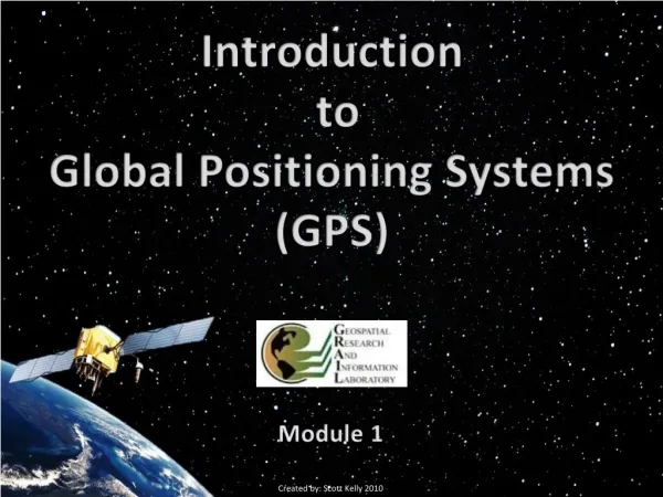
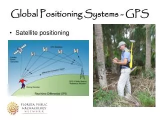
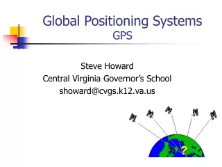
Definition of a GPS. A set of satellites in geostationary orbits used to determine geographical location anywhere on the earth by means of portable electronic devices.. Trilateration: How GPS Determines a Location. GPS is based on satellite ranging:Calculating the distances between the receiv

reilly
Download Presentation

Indoor Residual Spraying IRS GIS Training and Spray Area Mapping Basics of Global Positioning Systems GPS

An Image/Link below is provided (as is) to download presentation Download Policy: Content on the Website is provided to you AS IS for your information and personal use and may not be sold / licensed / shared on other websites without getting consent from its author. Content is provided to you AS IS for your information and personal use only. Download presentation by click this link. While downloading, if for some reason you are not able to download a presentation, the publisher may have deleted the file from their server. During download, if you can't get a presentation, the file might be deleted by the publisher.

E N D

Presentation Transcript


    More Related