Download
1 / 21
210 likes | 318 Views
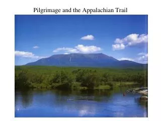
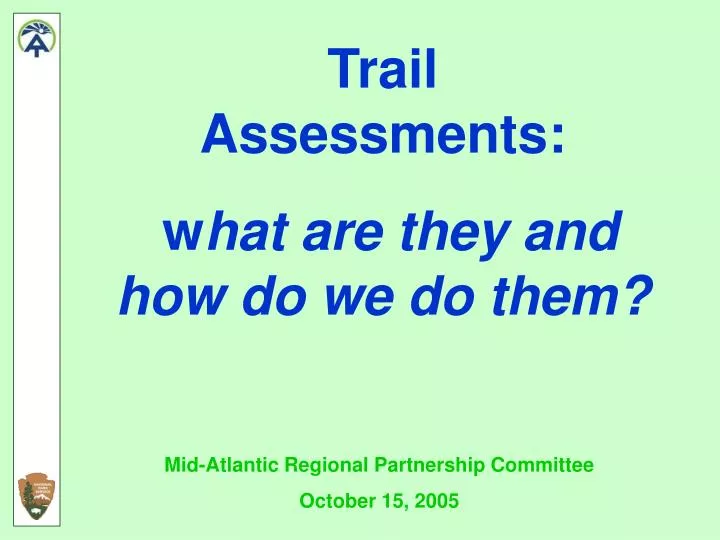
Trail Assessments: w hat are they and how do we do them?. Mid-Atlantic Regional Partnership Committee October 15, 2005. What is a Condition Assessment?. 1. Inventory Trail Assets. 2. Determine Condition of Trail Assets. 3. Manage Assessment Information. A.T. Asset.

E N D
Trail Assessments: what are they and how do we do them? Mid-Atlantic Regional Partnership Committee October 15, 2005
What is a Condition Assessment? 1 Inventory Trail Assets 2 Determine Condition of Trail Assets 3 Manage Assessment Information
A.T. Asset Trail – surface, erosion control structures, steps, crib walls, minor trail bridges > Major Bridges – over 20’ long and 10’ off the ground, or complex design > Buildings – shelters, privies, retained and excess structures > Campsites – constructed or managed > Parking Lots – constructed or managed > Boundary line – Exterior Corridor Boundary Survey >
Collecting Information GPS Use Resource Grade GPS units > “Data Dictionary” > Collect Location and Attribute Information at the same time > Integrate data into our GIS >
Inventory 1 TRAIL GPS surveyed in 1999 > Updated in 2002-2003 > Provided an accurate location of AT footpath > Only necessary to update relocations >
Inventory 1 SHELTERS Location > Dimensions > Construction Type > Capacity >
Inventory 1 PRIVIES Location > Dimensions > Construction Type > Privy Type >
Inventory 1 CAMPSITES Location > Dimensions > Capacity > Type designated, user created, bootleg/illegal >
Inventory 1 MAJOR BRIDGES Location > Year Built > Bridge Type Use Forest Service Definitions > Bridge Materials > Name >
Inventory 1 PARKING LOTS Location > Year Built > Surface > Dimensions > Capacity >
Assessments 2 TRAIL PROBLEMS Identify Deficiency > Note Actions to Correct Deficiency > Materials Needed > Estimated Person days > Evaluation > Trail Crew >
Assessment 2 OTHER PROBLEMS Identify Deficiency > Note Actions to Correct Deficiency > Materials Needed > Estimated Person days > Evaluation > Trail Crew >
Information Management 3 DATA Field Data is Processed edited & corrected > Data is imported into an ATC Database GIS & Access, under development > Data is also used in NPS Database FMSS > Data is used by NPS to Request Project Funding >
Information Management 3 PHOTOS Document Assets > Used for Project Planning > Stamped with Info > Linked to GIS > Eventually Accessible in ATC Database >
Information Management 3 GIS Data Integrated into ATC GIS > Can be Viewed in Relation to Other Features – Land Ownership Natural Resources Cultural Resources Other Trail Projects > Can be used to Produce Maps >
Information Management 3 TRAIL ASSESSMENT CYCLE Gather Quality Field Data > Develop Project Priorities from Data > Request Funding Based on Project Priorities > Update Data >
Information Management 3 AT PROJECT MANAGEMENT CYCLE Raw Data see Field ATPO A.T. Database HQ = Club Condition Assessment Data = ATC Five-Year Plans = ATPO Finalized by Aug 15 Annually by Aug 31 Reports due by Sept 30 Compile Estimate Field season Costs Estimated by Sept NPS funds by late-Feb RPC Approved by Sept see RPC RPC BOD Approves Budget, Nov NPS deadline by Mid-Feb Compliance PMIS FMSS ATPO Budgeting ? ATC Budgeting ATC Fundraising
2004 Assessment METHOD 20% of the AT was Assessed in the Field > AT Sections were Randomly Selected > Extrapolated Assessment Results to Entire Length of AT > Established a Base-line Condition for the AT Based on Field & Extrapolated Data > 20% of the AT will be Assessed in the Field Each Year >
2004 Assessment RESULTS Based on Field and Extrapolated Data: 43% (951 mi.) of AT is in “Good” Condition > 31% (687 mi.) of AT is in “Fair” Condition > 24% (539 mi) of AT is in “Poor” Condition > 0% of AT is in “Serious” Condition > Condition of AT is Determined by it’s “Facility Condition Index” - FCI > Replacement Value/Deferred Maintenance $ >
2005 and Beyond… 20% of the AT will be Assessed in the Field Each Year > Clubs and Volunteers are Integral to Assessment Process > Data will be Used to Update and Replace Existing Information > Data will be Used to Plan Projects and Request Future Funds >
GPS Equipment GeoExplorer 3 GeoExplorer XT Recon w/Pocket GPS