Download
1 / 39
390 likes | 405 Views
This research project aims to establish a national littoral laboratory and deploy a real-time coastal ocean observatory with a data-assimilative coupled ocean-atmosphere forecast model. The project also focuses on improving nowcast and forecast skills through assimilation of remote sensing data and adaptive sampling. The scientific objectives include studying coastal upwelling, 3D structure and dynamics of upwelling centers, biological and chemical processes, and the effects of biology and sediment transport on ocean color and visibility.

E N D
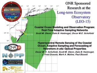
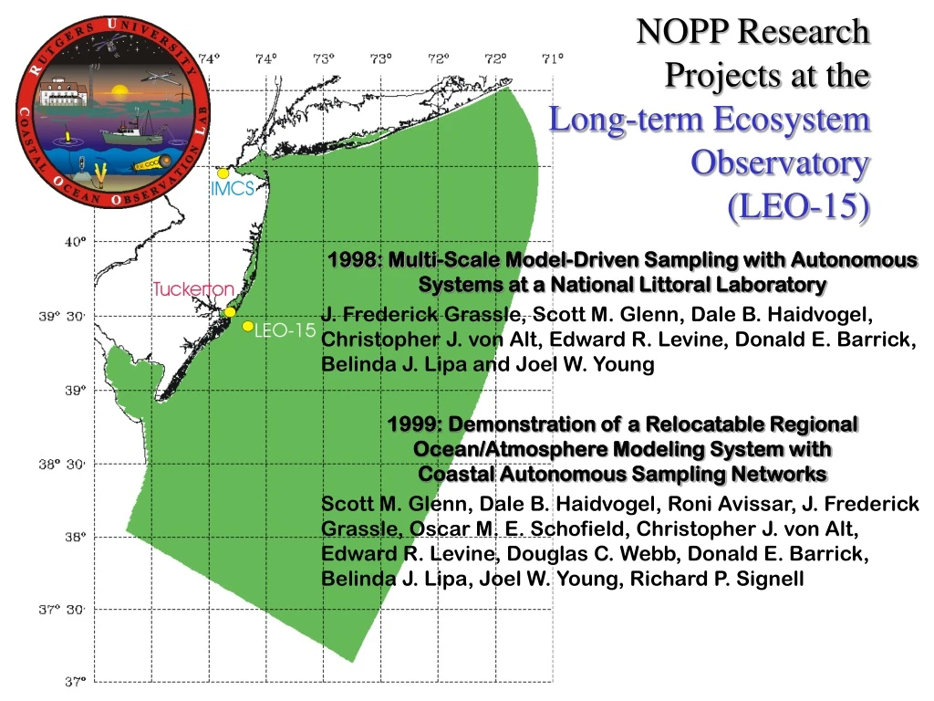
NOPP ResearchProjects at the Long-term Ecosystem Observatory (LEO-15) 1998: Multi-Scale Model-Driven Sampling with Autonomous Systems at a National Littoral Laboratory J. Frederick Grassle, Scott M. Glenn, Dale B. Haidvogel, Christopher J. von Alt, Edward R. Levine, Donald E. Barrick, Belinda J. Lipa and Joel W. Young 1999: Demonstration of a Relocatable Regional Ocean/Atmosphere Modeling System with Coastal Autonomous Sampling Networks Scott M. Glenn, Dale B. Haidvogel, Roni Avissar, J. Frederick Grassle, Oscar M. E. Schofield, Christopher J. von Alt, Edward R. Levine, Douglas C. Webb, Donald E. Barrick, Belinda J. Lipa, Joel W. Young, Richard P. Signell
NOPP Objectives • Establish a National Littoral Laboratory • Deploy a Real-Time Multi-Disciplinary Coastal Ocean Observatory • Develop a Data-Assimilative Coupled Ocean-Atmosphere Coastal Forecast Model • Encourage Community Involvement Through an Open-Access Architecture
NOPP Objectives • Operate the System in a Continuing Series of Coastal Predictive Skill Experiments 1998 - Improve Nowcast Skill • Assimilation of remote sensing surface data, and • Shipboard/AUV adaptive sampling subsurface data 1999 - Improve Forecast Skill • Improved surface, bottom and lateral boundary conditions • New turbulent closure schemes • Physical/bio-optical adaptive sampling with ships and AUV’s
Scientific Objectives • Multi-Disciplinary Studies of Coastal Upwelling on a Highly Stratified, Shallow, Wide Shelf • 3-D Structure, Evolution and Dynamics of the Recurrent Upwelling Centers and their Interactions with Topography • Effects on Biological/Chemical Processes Including Phytoplankton, Zooplankton and Larval Distributions, and Hypoxia • Effects of Biology and Sediment Transport on Ocean Color and Visibility
The Challenge “Shelf waters deeper than 3 meters and shallower than about 30 meters have often been ignored in the past because of the very difficult operating conditions and the complex dynamics, where the water is filled with turbulent boundary layers.” Ken H. Brink 12/12/97 Observational Coastal Oceanography National Science Foundation OCE Workshops http://www.joss.ucar.edu/joss_psg/project/oce_workshop
AVHRR Met Tower Nodes BASS Towed Vehicle - Flight Tests REMUS - Flight Tests Optical Sampling Tests
SeaWiFS RADARSAT AVIRIS CODAR ADCP/Thermistor REMUS - Survey REMUS - Docking REMUS - Turbulence
SODAR Met Buoy Optical Node Optical Vessel Webb Glider Freewave Communications Thermistor Strings Underwater Video
Regional Ocean Modeling System (ROMS) Development Initiated by Rutgers/UCLA 1997 Features: • Free-surface, hydrostatic, primitive equation model • State-of-the-art turbulence closure schemes for atmosphere and ocean • Efficient coarse-grained, shared-memory, parallel code • Enables support of high-resolution real-time coastal forecasting applications
Navy Products Rutgers Global Atmospheric Forecasts NOGAPS 1998 I.C. B.C. Local Atmospheric Forecasts NORAPS Atm. Forcing Ocean Models ROMS SBL
Navy Products NOAA & Rutgers Global Atmospheric Forecasts NOGAPS NCEP 1999 I.C. B.C. I.C. B.C. Local Atmospheric Forecasts COAMPS 27 km 6 hours RAMS 4 km 30 min Atm. Forcing Atm. Forcing Ocean Models ROMS PBL SBL BBL WBL MODAS (POM) I.C. B.C. Waves WAM Wave Models
NOPP Partnership Results • CODAR Ocean Sensors • System Validation & Optimization • Proposed Bistatic System • WHOI REMUS • Docking Demonstration - 1998 • ADCP Validation - 1998 • Operational Use - 1999 • CTD Validation & Undulating Mode - 2000 • NUWC REMUS • Demonstrate Ability to Collect Turbulence Data • Model & Data Driven Sampling of Multiple Regimes • Successful Search and Recovery
NOPP Partnership Results • Webb Research Corporation • First Sea Trials of Coastal Electric Glider • Real-Time Data Transmission • RDI • Development of New ADCP Hardware & Software • USGS • Transition of ROMS to Gulf of Maine • Buoyant Plumes and Sediment Transport • New Community Model for Navy Operational Use
Additional Partnerships • HyCODE • LEO Selected as a Hyperspectral Ocean Color Validation Site • RODAN Selected for Ocean Data Distribution System • NRL • Bioluminescence Test Range • Aircraft Microwave Salinity Mapper • Diver Visibility Test Site • Resource for Testing Relocatable Models • NLMOC • New Paradigm for Sharing of Forecast Products and Validation Results
Additional Partnerships • NWS • VHF and WWW Marine Forecasts • Provide Weather Radar Data • NOAA • Radarsat Validation Site • JHU/APL • Aircraft Altimeter Validation Site • Old Dominion University • 3-D Virtual Reality • General Power Utilities • Meteorological Meso-Net Around LEO to Study Seabreezes
Additional Partnerships • SeaSpace • Access to the International Constellation of High-Resolution Ocean Color Satellites • Falmouth Scientific • Towed CTD Software Development • Guildline • Towed Vehicle Optimization • Pin Oak Digital • Global Data Transmission System Test • Sun Microsystems • High-Performance Computing
Collaborations Between NOPP Projects • Harvard • Adaptive Sampling Paper • UCONN • Data Assimilation Studies • U. Maryland • RAMS Implementation • Naval Postgraduate School • CODAR Validation • MIT • Glider Control Software
Sponsor Involvement • Larry Clark - NSF • Tom Curtin - ONR • Ron Tipper - ONR • Rick Spinrad &Cynthia Decker - NOPP • Lou Goodman - ONR • Steve Ackleson & Joan Cleveland - ONR • Tom Donaldson & Ray Toll - NLMOC • Reg Beach - ONR • Terri Paluszkiewicz & Manny Fiadeiro - ONR
Challenges Ahead • Documentation • Sustainability • Year-round Operation
CODAR Surface Currents ADCP N Wind N Wind
Challenges Ahead • Documentation • Sustainability • Year-round Operation • Regional Expansion
Beth Dee Bob Jan. 6 Adriatic Jan. 18 New Jersey Clam Boat Sinkings January 1999
Conclusions • Over 25 Successful Partnerships Formed • All Went Well Beyond What was Initially Proposed • All are Eager to Continue • Our Greatest Strength Remains the Commitment of Many Dedicated People
Thoughts LEO-15: Where the camaraderie of a sea going M*A*S*H unit prevails. - New York Times, August 1st, 1999 Go Hard or Go Home!!!- Joe Grzymski, NOPP 1999