Download
1 / 38
380 likes | 484 Views
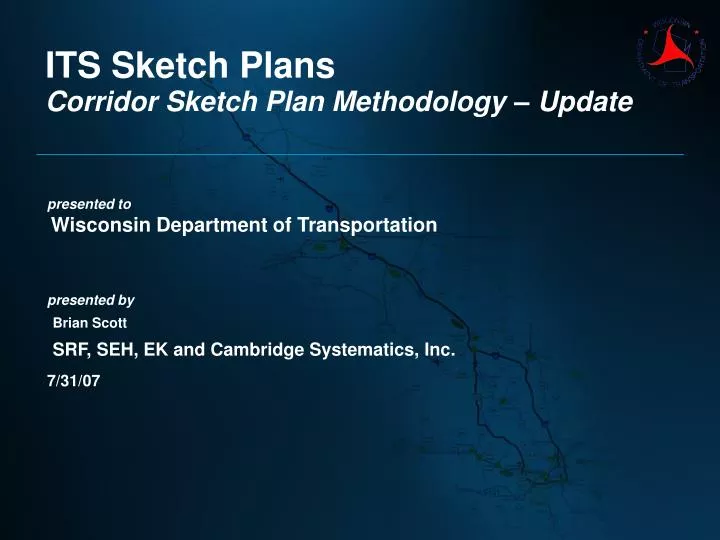
ITS Sketch Plans. Corridor Sketch Plan Methodology – Update. presented to Wisconsin Department of Transportation presented by Brian Scott SRF, SEH, EK and Cambridge Systematics, Inc. 7/31/07. Agenda. Schedule/Progress Management Update – John Corbin

E N D
ITS Sketch Plans Corridor Sketch Plan Methodology – Update presented toWisconsin Department of Transportation presented byBrian Scott SRF, SEH, EK and Cambridge Systematics, Inc. 7/31/07
Agenda • Schedule/Progress • Management Update – John Corbin • Presentation – Sketch Planning Update - SRF, EK, SEH • Threshold Updates • Deployment Density – Spectrum Update • Corridor Examples • Beltline • Fox Valley • Capital • Long Range Plan Input - Chris Hedden • Next Steps
Threshold Adjustment Original Adjusted
Process • Raw Data Threshold Map • Develop Raw Data Corridor Map • Smooth Segments • Analyze Smoothed Segments • Apply Operations Oriented Recommendations (Mileposts) • Next Steps • Meeting with Regions – Operations Chiefs and Planning Chiefs • Produce final maps and recommendations for all corridors
Fox Valley Corridor • Insert SEH Methodology
Statewide – Additional Information Layers • RWIS • Fiber optic cable • State Patrol microwave network • State Patrol MDN
Input into Connections 2030 LRP • Submitted draft data set 7/23/07 • Only red and orange links • Table Text Suggested • Sketch Planning data set Version 3.0 submitted • Contains updated thresholds
Next Steps (Short Term) • Complete SW and NE Region Maps • Obtain consensus from WisDOT Regions & BHO • Complete SE Region Maps • Complete NW and NC Regions • Data collection – existing systems & infrastructure
Next Steps (Mid – Term) • Technology Scan • Validate results in Regional workshops SE, NW, NC)
Next Steps (Finalize) • Develop Infrastructure & Operations Plan • Aggregate Plans (Freeways, Arterials, ATIS) • Prioritize Corridors • Integrate into existing WisDOT planning processes • Apply recommendations to near-term corridor projects for implementation