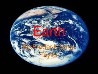
Exploring Map Projections and Human Migration: Themes in Geography
180 likes | 310 Views
This project delves into the complexities of map projections and their significance in understanding human migration. It reviews key concepts from Chapter 2 of "Diversity Amid Globalization" (4th edition) by Rowntree et al., focusing on population movements, both voluntary and forced, such as refugees. Through figures showcasing globalization, diversity, and geopolitical frameworks, the project highlights push-pull factors affecting migration patterns. Additionally, it discusses the challenges cartographers face in representing Earth's surface accurately, emphasizing the balance between equivalence and conformality in map design.

Exploring Map Projections and Human Migration: Themes in Geography
E N D
Presentation Transcript
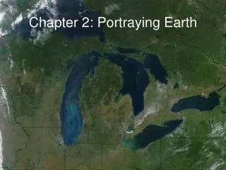
Portraying Earth • Finish Themes and Issues in WRG • Maps • Map Projections • Map Project For Wednesday: Read Chapter 2 (pp. 48-52)
Population Movements • Migration • Voluntary • Forced (e.g., Refugees like those pictured in Figure 1.27 at right) • Push vs. Pull Factors Southern Sudan Diversity Amid Globalization, 4th edition: Rowntree, Lewis, Price, and Wyckoff
Global Cities in the 21st Century Figure 1.28
Language … Dubai, UAE Figure 1.36 Diversity Amid Globalization, 4th edition: Rowntree, Lewis, Price, and Wyckoff Figure 1.37
… and Religion Diversity Amid Globalization, 4th edition: Rowntree, Lewis, Price, and Wyckoff Figure 1.38
Geopolitical Framework Nations vs. States Ethnic Separatism – Centripetal vs. Centrifugal Forces Figure 1.43 Basques in Spain Figure 1.42 Diversity Amid Globalization, 4th edition: Rowntree, Lewis, Price, and Wyckoff
The Colonial Imprint Figure 1.44 Diversity Amid Globalization, 4th edition: Rowntree, Lewis, Price, and Wyckoff
Wealth and Poverty 2009 Global Recession Figure 1.45 Figure 1.44 Impoverished Brick Workers in India
Economic Development Figure 1.48 Figure 1.49
Social Development – Health and Education Figure 1.50 Receiving a polio vaccine in Jakarta Women and Literacy Figure 1.51
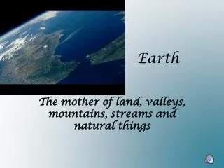
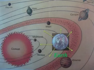
Maps • What is a map? • A map is a representation of the surface of the earth. • At its best, a map will always fail to tell the whole story. • Maps show distance, direction, size, and shape. • Almost always have a special purpose, or theme.
Map Projections • How to transfer data from a roughly spherical object to a flat sheet of paper has puzzled and challenged cartographers for centuries. • Major Dilemma: Equivalence vs. Conformality • Equivalent projection – equal area • Conformal projection – proper angular relationships • Every map projection is a compromise!
Map Projections • Do you prefer a conformal or equivalent map projection? Why? Which is “more accurate”? Equivalent Conformal
Interrupted Projection Figure 2-9
Map Project See asUlearn