Download
1 / 11
110 likes | 224 Views
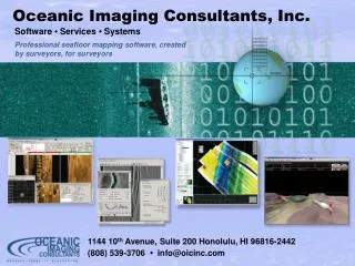
Oceanic Imaging Consultants, Inc. Software • Services • Systems. Professional seafloor mapping software, created by surveyors, for surveyors. 1144 10 th Avenue, Suite 200 Honolulu, HI 96816-2442 (808) 539-3706 • info@oicinc.com. Post-Processing. A Brief Introduction.

E N D
Oceanic Imaging Consultants, Inc. Software •Services •Systems Professional seafloor mapping software, createdby surveyors, for surveyors 1144 10th Avenue, Suite 200 Honolulu, HI 96816-2442 (808) 539-3706 • info@oicinc.com
Post-Processing A Brief Introduction
Technically, post-acquisition processing GeoDAS can process in real-time but: Post-processing allow more flexibility and power in detecting and dealing with data noise and image artifacts. Post-processing tools allow you to review all your data, for creation of better mission products What is “Post-processing”?
Clean up noise in the data Remove data artifacts Make mission products, Maps DEM’s Target locations Why Do Post-processing?
Typical sidescan artifacts Beam Pattern Artifacts Bottom-tracking Errors Gain Changes
Typical Bathymetry Artifacts Depth outliers (noisy data)
Typical navigation and heading Noisy navigation and heading data
GeoDAS-Desktop. Economic solution for data replay, navigation editing and production of simple mosaics. OICToolkit. UNIX-based full-featured post-processing package. OICcleansweep. New, PC-based post-processing package for sidescan and bathymetry. OIC Options for Post-processing
Retains many of the features of OICToolkit “swath-based” processing “point & click” selection of data Interactive editing of gains & bottom-tracking Adds new, more powerful features Better data and swath bookkeeping Navigation “wizard” to aid in sensor re-nav “Quality” based filtering for bathymetry More powerful mosaicking tool allows interactive blending of multiple swaths Target-marking tool allows clipping of full-resolution GeoTIFFs from sidescan, and pasting them on mosaics OICcleansweep
Superimposition of EOID GeoTIFFTarget Snippets on Sidescan Mosaic