Download
1 / 385
3.85k likes | 4.03k Views
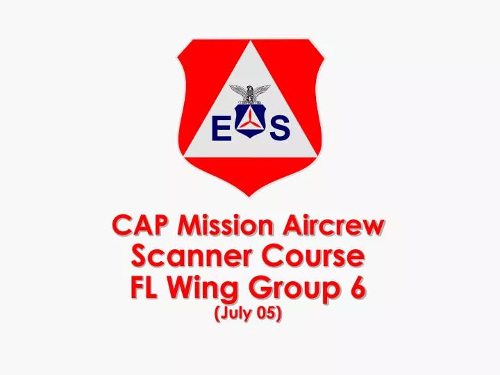
CAP Mission Aircrew Scanner Course FL Wing Group 6 (July 05). Introduction. Administrative Items. CAPR 60-series Review. Mission Scanner Requirements. Trainee Qualified General Emergency Services (GES) At least 18 years of age (minimum; should be mature)

E N D
Introduction Administrative Items
Mission Scanner Requirements • Trainee • Qualified General Emergency Services (GES) • At least 18 years of age (minimum; should be mature) • SQTR-MS familiarization and preparatory training • Commanders authorization • Qualification • SQTR-MS requirements • Exercise participation (two separate missions) • Unit certification and recommendation
P-2013 Discuss Mission Scanner Duties and Responsibilities
Objectives • State the primary role of the scanner. • Discuss the "IM SAFE" criteria. • Discuss other scanner duties and responsibilities. • Review the observer duties and responsibilities.
Scanner Duties & Responsibilities • PRIMARY RESPONSIBILITY: Visual Search • IMSAFE (next slide) • Be prepared to fly the mission — clothing, equipment, credentials, etc. • Assist in avoiding obstacles during taxiing • Obey ‘sterile cockpit’ rules – limit conversation to mission- and safe-related topics during critical phases of flight, or anytime the crew is executing high-load tasks • Employ effective scanning techniques. • Report observations accurately and honestly. • Keep accurate sketches and notes. • Complete all required paperwork. • Conduct the mission as planned & report availability. • Return borrowed or assigned equipment.
“IMSAFE” • Illness • Medication • Stress • Alcohol • Fatigue • Emotion
Observer Duties & Responsibilities • Primary Responsibility during searches: Visual Search • Report for briefings • Assist in planning – may be mission commander • Check necessary equipment aboard (checklists) • Assist in avoiding obstacles during taxiing • Assist in setting up and operating radios • Assist in setting up and operating nav equipment • Maintain situational awareness • Assist in monitoring fuel status
Observer Duties & Responsibilities(continued) • Assist enforcing the sterile cockpit rules • Assist pilot during searches, particularly ELT • Keep mission base/high bird apprised of status • Coordinate scanner assignments, schedule breaks, monitor crew for fatigue & dehydration • Maintain observer’s log • Report for debriefing • Assist with all post-mission paperwork • Keep track of assigned equipment and supplies
CAP Missions • Aerospace Education • Cadet Program • Emergency Services • Civil Defense / Wartime • Disaster Relief • Search and Rescue • Emergency Communications • National Security
CAP Civil Defense/Wartime Missions • CAP OPLAN 1000 • Provide emergency communications network • Provide damage assessment • Support state and regional disaster airlift (SARDA) • Provide radiological monitoring and decontamination teams • Airlift of high priority resources • Security Control of Air Traffic and Air Navigation Aids (SCATANA) Plan
CAP Peacetime Missions • Peacetime disaster relief as a component of FEMA Urban Search and Rescue program • Damage Assessment, Communications, Transportation • Search and Rescue (SAR) • USAF is SAR coordinator • AFRCC implements national search and rescue plan • CAP conducts 4 out of 5 searches • Counterdrug Operations (CD) • Support is limited to: reconnaissance, transportation and communications • US Customs, DEA, US Forest Service and others
Peacetime Missions (con’t) • Homeland Security • TBD • Partner Agencies • Red Cross • Salvation Army • Federal Emergency Management Agency (FEMA) • Department of the Interior (DOI) • Federal Highway Administration (FHA) • Federal Aviation Administration (FAA) • National Transportation Safety Board (NTSB) • U.S. Coast Guard (USCG)
P-2014 Discuss CAP Liability Coverage and Mishap Reporting
Objectives • Discuss FECA, including what types of missions afford this coverage and what is covered. • Discuss FTCA, including what types of missions afford this coverage and what is covered. • Discuss the various assessments that can be made for damage to CAP aircraft. • Discuss CAP corporate insurance, including what types of missions afford this coverage and what is covered. • Discuss CAP mishap reporting, including what must be reported, how, and to whom.
Liability • Federal Employee Compensation Act (FECA) • Worker’s compensation • Injured or killed on Air Force-assigned missions • Commercial insurance for corporate missions • Coverage varies depending on the type of mission • Know your coverage for the missions you are on
Liability (con’t) • Federal Tort Claims Act (FTCA) • Liability protection • CAP members acting within the scope of their duties on CAP operational missions • Air Force assigned missions (including 911T) • CAP corporate missions • CAPR 900-5, CAP Insurance/Benefits Program
Liability (con’t) • Wing and Region Commanders may assess CAP members for the cost of repairs due to damage to CAP Aircraft (CAPR 60-1): • Negligence – up to $500 • Gross negligence – up to $5,000 • Willful or intentional misconduct – beyond $5,000 • CAP corporate missions • CAPR 62-2, Mishap Reporting • CAPF 78, Mishap Report Form • Avionics lock
P-2015 Enter Data into CAP Forms
Objectives • Show how to correct a mistake. • Show how to mark a map that you will attach to a form.
Operational Agreements • National, regional and state levels • In accordance with CAPR 60-3 • Formalized through agencies chain of commands • Facilitates OPLAN implementation • Agreements are approved and signed at all levels • Contents • Limitations • Reimbursements • Liability
Forms • OPLANS and CONPLAN’s – contingency actions • Regulations – supervise and direct • MOUs and Agreements – facilitate understanding • Forms – facilitate implementation and recording
CAP Forms 104 and 108 • CAPF 104 Mission Flight Plan / Briefing / Debriefing Form • Completed for each mission sortie • Complete and legible • CAPF 108 CAP Payment / Reimbursement Document for Aviation / Automotive / Miscellaneous Expenses • CAPR 173-3 • Use current form (previous editions are obsolete) • Completed for each mission • File within 30 days after mission completion • Complete and legible
Entering Data onto Forms • Data must be accurate and legible • Print, or have another crewmember fill out the form. • Electronic • General rules: • Corrections: line through and initial (no “Liquid Paper”) • No signature labels or stamped signatures • Attachments: Name, Date, Mission & Sortie number, ‘N’ Number, Hobbs time • Review the form. Make sure blanks or “N/A” are intentional.
Summary • Wartime or peacetime tasking • Plans, MOU’s, agreements and regulations • Forms: Complete, accurate and legible • You implement the CAP mission • Know the source regulations • CAPR 60-1 (flying operations) • CAPR 60-3 • CAPR 60-4 • MOUs
O-2024 Demonstrate Use of Sectional Charts
Objectives • Identify and discuss the following on an aeronautical sectional chart: • Physical features such as topographical details. • Towns, cities, highways, roads, and towers (MSL and AGL). • Airways, radio aids, airports and airport data. • Maximum Elevation Figures. • Legend and margin information. • Given a sectional and plotter, determine a heading and measure distances. • State the size of a full and one-quarter CAP and Standardized grids.
Sectional Aeronautical Charts • 1 to 500,000 • Medium to slow speed aircraft • Types of Information: Legend, Aeronautical, Topographical
CAP Standard Grid System • Overlays standard sectional maps • Subdivides the map into distinct working areas • Each grid is 1/4° (15 minutes) of latitude by 1/4° of longitude and is assigned a number • Grids are further divided into sub-grids labeled A, B, C, and D • Each sectional has a standard for assigning grid numbers — for areas of overlap the grid number of the most westerly chart is used
CAP Standard Grid System 159 ADB 159 AA • Each grid on the sectional is assigned a number • In this example, the grid depicted is numbered 159 • Grids are subdivided into smaller sections • Letters are used to define sub-grids 102-15 W 102-00 W 36-15 N A B B A B C D C 36-07.5 N 102-11.25 W D C 36-00 N 102-07.5 W 102-15 W 102-00 W
Standardized Latitude & Longitude Grid System • Can be used on any kind of chart that has lines of lat/long • 1° blocks identified by the intersection of whole numbers of lat/long, such as 36-00N and 102-00W • Points are designated with the latitude first (36 /102) and they identify the area north and west of the intersection of these two lines • Grids can be subdivided into smaller sections • Letters are used to define sub-grids
O-2003 Grid Sectional Chart
Objectives • Grid a sectional chart using the CAP grid system • Given coordinates, draw a grid on the sectional using the Standardized Latitude and Longitude Grid System
Marking Grid Charts • You can use a new sectional — normally not updated unless it gets worn out • Use a Hi-Lighter (not pink) to mark grid boundaries on the chart using a long ruler • Mark grid identification in black ink for easy visibility • You should always keep a current sectional with you even if you have a sectional which is marked with grids
O-2025 Track and Record Position on Sectionals and Maps
Objectives • Discuss the use of the following navigational terms: • Course, heading and ground track. • Nautical mile and knot. • Given a plotter and a sectional, determine a route's heading and distance. • Given a sectional, record a ground position by its latitude/longitude and then record that position on a road or topographical map.
Navigation Terms • Course - planned or actual path of the aircraft over the ground • True course • Magnetic course • Heading - direction the aircraft is pointing • Ground track – actual path of the aircraft over the ground • Nautical mile (nm) - measurement used in air navigation • Knots (kts) - nautical miles per hour
Locating a Position • Use a system of imaginary lines • Some run north and south (latitude) • Others run east and west (longitude) • Where they cross defines a point on the earth • By convention, latitude is stated first
Latitude • Lines of latitude run east and west • Latitude starts with 0°at the equator • Latitude increases to 90°north at the North Pole and 90°south at the South Pole • Great Circle and Lesser Circles North Latitudes Equator South Latitudes