Download
1 / 7
70 likes | 175 Views
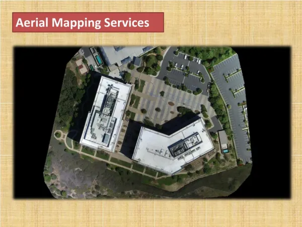
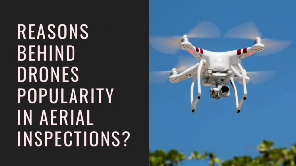
Our team of experts has years of experience in aerial mapping. It uses advanced technologies such as photogrammetry, LIDAR (Light Detection and Ranging), and multispectral imaging to create high-quality maps and samples.u00a0Our company offers a wide range of benefits, including UAV Drone Surveying, GIS Surveying, Topographic Survey, 3D Modelling, Photogrammetry Consultancy, Drone Mapping, Aerial Infrastructure Monitoring, Mining Services, Agricultural Drones, Vegetation Mapping, Crop Health Monitoring, Aerial Filming, Aerial Photography/Videography, and Drone Footage.<br>

E N D
Real estate drone photography services Dump yard / Waste Management Pixroot Technologies PVT LTD is proud to offer drone services for dump yard waste management, revolutionizing how waste is managed and monitored. Our drone technology provides efficient, cost-effective, and safe solutions for waste management, allowing for real-time monitoring and analysis of dump yard sites.
Solar plant Inspection Solar Plant Inspection At Pixroot Technologies PVT LTD, we specialize in providing drone solar plant inspection services using drones. Our drones are equipped with high-resolution cameras and thermal imaging technology that allows us to quickly and efficiently capture detailed images of solar panels and other components of the solar power plant. Our drone solar plant inspection services provide a safer and more cost-effective alternative to traditional inspection methods.
drone pipeline survey Drone Pipeline Survey Thedrone pipeline surveyoffered by Pixroot Technologies covers a range of areas, including inspection, repair and maintenance, corrosion protection, and integrity management. The company uses advanced technologies, such as non-destructive testing and advanced corrosion modeling, to provide its clients with the most accurate and comprehensive information about their pipelines.
Pixroot Technologies PVT LTD specializes in drone-based thermal monitoring services for drone powerline inspections. Our drone-based powerline monitoring technology, utilizing advanced thermal imaging cameras on our high-tech drones, allows you to quickly and efficiently capture detailed thermal images of powerlines, identifying potential issues and faults and creating a strategy for repairs and maintenance. The difference is felt by using drone-based Powerline Monitoring services from us. Drone Based Powerline Monitoring
Disaster Management Disaster Management Using our drone services for disaster management means quick deployment, rendering high resolutions; 3D mapping, pinpointing the areas of the hotspot, locations upheld significant damage, and uploading real-time data that will help harmonize replacement efforts.
Security Purpose Drones used for security reasons are highly debated. But enhanced drone technologies have made this possible today. Pixroot Technologies PVT LTD specializes in assisting all its clients with drone services that will help ensure optimum security.
CONTACTUS https://pixroottechnologies.com/ pixroottechnologies@gmail.com +91 6289 623 176