Download
1 / 26
260 likes | 377 Views
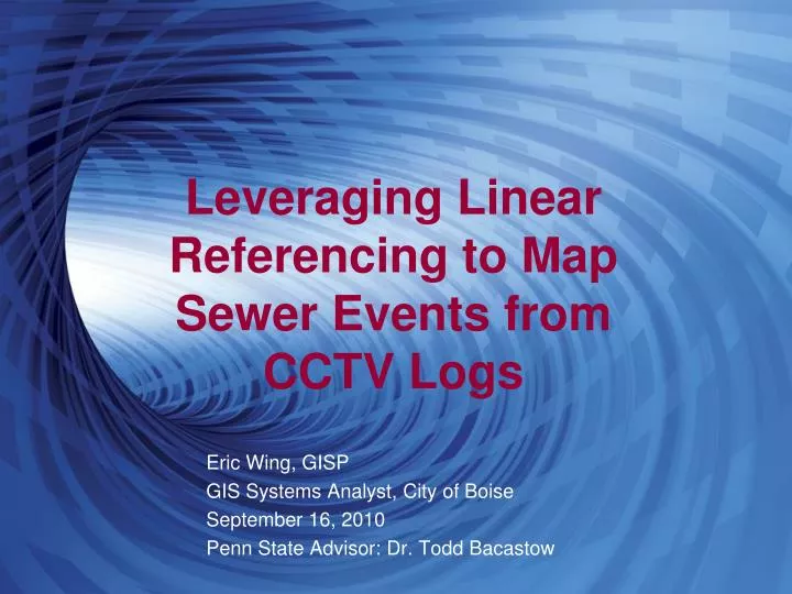
Leveraging Linear Referencing to Map Sewer Events from CCTV Logs. Eric Wing, GISP GIS Systems Analyst, City of Boise September 16, 2010 Penn State Advisor: Dr. Todd Bacastow. Overview. Background Objectives Methodology Challenges Results Questions. Boise and Sewer.

E N D
Leveraging Linear Referencing to Map Sewer Events from CCTV Logs Eric Wing, GISP GIS Systems Analyst, City of Boise September 16, 2010 Penn State Advisor: Dr. Todd Bacastow
Overview • Background • Objectives • Methodology • Challenges • Results • Questions
Boise and Sewer • 650 miles of sewer lines • 51,760 customers • 30 million dollars annual revenue • 150 users in Public Works Background Objectives Methodology Challenges Results
Sewer in the Field • GIS data • Manholes • Mainlines • Service laterals Background Objectives Methodology Challenges Results
GPS vs CCTV • GPS • Since 1995 • 22,431 records • Better representation • CCTV • Pre 1995 • 60,454 records Background Objectives Methodology Challenges Results
CCTV • Service laterals • Roots • Material changes • Cracks • Grease Background Objectives Methodology Challenges Results
Previous Process Background Objectives Methodology Challenges Results
Issues • 12 year old UNIX server • ARC/INFO 7 AML and coverages • Many manual steps • Automated processes take 62 hours • Known limitations Background Objectives Methodology Challenges Results
Objectives • Streamline the process • Reduce manual steps • Automate where possible • Use ESRI ArcGIS 9.3 technology • No new extensions • No additional software • Correct for limitations where possible • Evaluate expansion opportunities Background Objectives Methodology Challenges Results
Linear Referencing Background Objectives Methodology Challenges Results
Development Strategy • ModelBuilder / Python • City not ready for ArcGIS 10 • Rapidly changing environment • Hansen 8 upgrade pending • New CCTV software • Looking to automate Background Objectives Methodology Challenges Results
General Process • Extract Hansen data • Mainline assets • Inspection logs • Event records Background Objectives Methodology Challenges Results
General Process • Create and calibrate routes • Calibrate against Hansen length Background Objectives Methodology Challenges Results
General Process • Massage Hansen data • Joins, filters, and calculations Background Objectives Methodology Challenges Results
General Process • Generate features Background Objectives Methodology Challenges Results
Challenges • Hansen issues • Hansen 8 upgrade behind schedule • Data inconsistencies • Sewer mainlines with 0 length • Event located at footage longer than the pipe • Synchronization between GIS and Hansen Background Objectives Methodology Challenges Results
Challenges • 12:00 and 6:00 observations Background Objectives Methodology Challenges Results
Challenges • Service connections to manholes Background Objectives Methodology Challenges Results
Challenges • Problem: duration • Takes 54 hours to create 64,000 features • Solution: update only new/changed data • Typically on a few hundred new/altered records in a month Background Objectives Methodology Challenges Results
Results • Solution streamlined • Eliminated manual steps • Process is automated • Using ArcGIS 9.3 software • Can surplus UNIX server • No more ties to ARC/INFO 7 • Limitations corrected • Some resolved, some remain Background Objectives Methodology Challenges Results
Current Process Background Objectives Methodology Challenges Results
Expanded Data Results Background Objectives Methodology Challenges Results
Next Steps • Expanded data • Hansen 8 upgrade • ArcGIS 10 upgrade • Move entirely to Python Background Objectives Methodology Challenges Results
Acknowledgements • City of Boise • Barbara Edney, GIS Analyst • Jim Pardy, Assistant City Engineer • Melissa Rushton, Public Works Project Coordinator / Hansen Specialist • Penn State • Dr. Todd Bacastow, Advisor
References • Cadkin, J., & Brennan, P. (2002). Dynamic Segmentation in ArcGIS. ArcUser, July-Sept. Retrieved from http://www.srnr.arizona.edu/rnr/rnr420/dynseg.pdf • Clancy, D., Gustafson, J., & Higgins, L. (2002). Economical Sewer Main Rehabilitation Utilizing ArcGIS and Dynamic Segmentation. Retrieved from http://proceedings.esri.com/library/userconf/proc02/pap1181/p1181.htm • Curtin, K., Nicoara, G. & Arifin, R.R, (2007). A Comprehensive Process for Linear Referencing. Journal of the Urban and Regional Information Systems Association, 19 (2): 41-50. Retrieved from http://www.urisa.org/curtin • ESRI. (2001). Linear Referencing and Dynamic Segmentation in ArcGIS 8.1. Retrieved from http://www.esri.com/library/whitepapers/pdfs/lrds_arcgis.pdf • ESRI. (2003) Linear Referencing in ArcGIS: Practical Considerations for the Development of an Enterprisewide GIS. Retrieved from http://downloads2.esri.com/support/whitepapers/ao_/Linear_Referencing_in_ArcGIS.pdf • ESRI. (2006) GIS for Utilities [PowerPoint slides]. Retrieved from http://www.iowagic.org/resources/user-groups/eastern-iowa-user-group/past-events/january-25-2006/arcgis-tools-for-water-and-wastewater.pdf • Ferreira, A., & Duarte, A. (2005) A GIS-Based Integrated Infrastructure Management System. Retrieved from http://www.fig.net/pub/cairo/papers/ts_37/ts37_09_ferreira_duarte.pdf • Goodman, J.E. (2001). Maps in the Fast Lane – Linear Referencing and Dynamic Segmentation. Retrieved from http://www.directionsmag.com/article.php?article_id=126 • Meehl, J. (2004). Pipeline Integrity Management Using Linear Referencing With ArcObjects. Retrieved from http://proceedings.esri.com/library/userconf/proc04/docs/pap1976.pdf • Pierre, J., Mosher, J., Hargis, A. (2006). Linear Referencing in Boulder County, CO: Getting Started [PowerPoint slides]. Retrieved from http://proceedings.esri.com/library/userconf/proc06/papers/papers/pap_2071.pdf
Questions Eric Wing, GISP GIS Systems Analyst, City of Boise 150 N Capitol Blvd Boise, ID 83702 208.384.3936 ewing@cityofboise.org