Download
1 / 15
160 likes | 348 Views
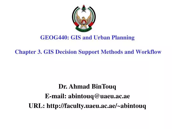
GEOG440: GIS and Urban Planning Chapter 3. GIS Decision Support Methods and Workflow . Dr. Ahmad BinTouq E-mail: abintouq@uaeu.ac.ae URL: http://faculty.uaeu.ac.ae/~abintouq. Overview Chapter 3.

E N D
GEOG440: GIS and Urban Planning Chapter 3. GIS Decision Support Methods and Workflow Dr. Ahmad BinTouq E-mail: abintouq@uaeu.ac.ae URL: http://faculty.uaeu.ac.ae/~abintouq
Overview Chapter 3 • Overview of GIS Capabilities (Geocoding Tools, Data Management Tools, Map Visualization Tools, Feature Analysis Tools, Grid Analysis Tools , Network Analysis Tools ) • Workflow in GIS Projects (Basic Workflow , Nuanced Workflow and Synthesizing Basic and Nuanced Workflows ) • Summary and Review Questions
GIS Capabilities • GIS is known for its ability to integrate various types of data to address complex decision problems. • Difference between a GIS project and a community improvement project. • For example, a wastewater treatment facility is a community improvement project, but the process of sitting such a project, as presented in the case study, provides a step-by-step method for undertaking a GIS project.
Dumping site Legality Economy Environment Atmosphere Water Biotic life Soil Surface water Groundwater
GIS Capabilities • GIS is a special information technology because it integrates capabilities from three fundamental technologies— • Data management capabilities • Spatial analysis capabilities • Map visualization capabilities
Landuse Topography Soil type Utility Rivers Roads District Lots Geographical objects
Data collection Spatial + Attribute data • Geology, Groundwater • Rivers, Coastal line • Soil, Landuse • Airport, Roads • Settlements, Hotels
Digitization under Import to ArcMap AutoCad Create topology Build and Clean Check feature accuracy Transform to real coordinate Add attribute data ArcMap- Geographic database shape files Geographic analysis Steps for data preparation
Perform spatial operations • Feature extraction from a GIS database (Reselect) • Map overlay (Intersect, Union, Mapjoin) • Proximity searches (Buffering)
Workflow • 3 GIS workflows—simple, nuanced, and combined— • to show that any two workflows, when compared, can generate at least one more workflow that perhaps might be more informed. • 1) The simple workflow (comprising four phases) is good enough to learn the basics of GIS. • 2) Another workflow that has shown considerable success in addressing complex landscape planning problems is one with six phases, introduced by Steinitz (1990). Each phase is a special modeling step. • 3) Third workflow is a synthesis of the other two, resulting in a seven-phase workflow. The main point is not simply to develop one more workflow, but to show that workflows can often take on emergent qualities to address special nuances of decision problems.
Basic Workflow for a GIS Project This simplified workflow method assumes that a decision problem can be solved by a single pass through a workflow, with limited testing of assumptions in each of four phases: • identify project objectives, • develop the database, (3) perform analysis, and (4) report the results. It is useful and instructive because of the simplifying assumptions regarding water flow process and impacts, for example, land use, transportation, and/or water resource movement, over space and time.
The flow chart outlines the solar energy station siting model that would be performed in this research project:
Layer 1: Layer 2: Layer 3: Lake Forest Soil Drainage Layer 4: Layer 5: Layer 6: Loggable Drained Soils Near Lake Species Layer 7: Layer 8: Away From Species And Lake Soils Layer 9: Loggable Sites Example Project Steps Spread Recode Recode Recode Recode OverLay
Reselect Geology Land use Soil Rainfall Buffer Roads Rivers User interaction The best zones Suitable zones 3.2 Workflow in GI S Projects Intersect suitable zones for each factor
Chapter 3 Summary (1) describing many of the general capabilities of software and the ways these capabilities address decision problems, and (2) presenting different GIS workflows that make use of capabilities. • Projectsis in terms of how communities want to plan, program, and implement land use, transportation, and/or water resource activities to restore, redevelop, or otherwise improve quality of life. • Projectsis in terms of how we make use of GIS in a decision situation—the so-called GIS project. GIS analysts undertake GIS projects, working with data to address community concerns about community projects.