Download
1 / 20
200 likes | 221 Views
Join the Atlanta Region Geospatial Community for updates, lightning rounds, and presentations on geospatial topics. Interact with the presentation at menti.com with the code 16.83.50.

E N D
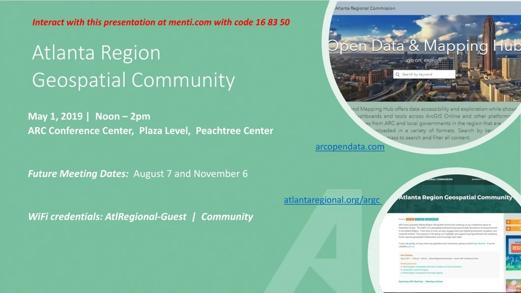
Interact with this presentation at menti.com with code 16 83 50 Atlanta Region Geospatial Community May 1, 2019 | Noon – 2pm ARC Conference Center, Plaza Level, Peachtree Center Future Meeting Dates: August 7 and November 6 WiFi credentials: AtlRegional-Guest | Community arcopendata.com atlantaregional.org/argc
Interact with this presentation menti.comenter 16 83 50
Agenda • Lunch, networking, poster gallery • Introduction, updates and announcements • 2020 Census New Construction ProgramWilliam Curry, US Census Bureau • Lightning Rounds • Using GIS Apps at Atlanta's Place-Based Semester SchoolDr. Lance Owen, Lab Atlanta(co-partnership of The Lovett School and Atlanta Public Schools) • Georgia Geospatial Information Office UpdateSusan Miller, Georgia Geospatial Information Office • Adjourn
Updates & Announcements AR Open Data Program Members Open Data Council • Join us!
Updates & Announcements Census Update • BAS 2019 – • Final deadline for BAS submittals is May 31st. Important year for BAS b/c of upcoming 2020 count and tabulations • Contact Paul DiGirolamo if you need help with reviewing your boundary and/or submitting changes • PSAP now underway– Participant Statistical Areas Program • Chance for local governments to have input on redefining Census geography for tracts and block groups; done in GUPS • Census “Pre-SAP” provides suggested solutions for all splits/merges • Deadline is May 24th. Any county interested in reviewing their data with ARC please contact Paul DiGirolamo if you have not already done so
Online Training Resources • Esri’s Training Program offers a variety of free, online courses:For instance, Esri now offering MOOCs (Massive Open Online Course) such as Spatial Analysis, GeoApps and Cartography. With nearly five hundred free courses available, you’re certain to find an Esri course that fits your work. Tip: When searching courses, select the ‘Maintenance’ and ‘Free’ checkboxes under Product. • Interested in coding and technology, explore these platforms:General Assembly, Free Code Camp, W3Schools, CodeAcademy, Udacity and FutureLearn. Additional opportunities are offered by Amazon AWS and Google. LinkedIn/Lynda offers a free, one month trial membership. • Looking for something less technology oriented? Coursera and EdX offer thousands of courses from many top universities (Harvard, Stanford, CalTech). Here’s a list of curated Coursera courses. When viewing a course description in EdX, you may notice a fee associated with receiving a certificate. You can skip the certificate and fee by looking for the “or study for free” option to enjoy free enrollment. Even MIT offers free online courses! • Need credits to maintain your LEED certifications? Explore GreenCE and GBRI. • APA offers online education Certification Maintenance opportunities for AICP Members and the folks at NNIP offer a wide variety of interesting training links. We want to hear from you! Help us grow our list of training opportunities by sharing your favorite free course or learning platform. Send links and details to David Giguere dgiguere@atlantaregional.org.
Updates & Announcements Statewide Imagery through GA GIO Imagery Program • High-resolution statewide imagery (3 band) tile service available to all government entity employees in Georgia - details and FREE registration • Contractor registration also now available • To help secure ongoing funding to maintain and update imagery beyond the pilot of this Program- share your success stories if your office has benefited from use of the imagery – either by government employees or through the work of a contractor – please recount your achievements to help us make the case for additional, ongoing funding.
Updates & Announcements Showcase your geospatial awesomeness on ARC blog: 33n (33n.atlantaregional.com) Contact Layla Bellows: lbellows@atlantaregional.org
Updates and Announcements • Events • GAURISA luncheonSecond Tuesday, rotating locations • GeoTAC (Georgia Geospatial Technical Advisory Committee, formerly GISCC) meetingQuarterly from 2-4pm • Metro Atlanta Geospatial Society Meetup • Announce additional events on next slide • Career Opportunities • Chatham County - Savannah Metropolitan Planning Commission seeksPublic Safety GIS Coordinator • Coastal Regional Commission seeks GIS Analyst • Southern Regional Commission seeks GIS Technician • Interdev/Sandy Springs seeks GIS Technician • Announce additional opps on next slide