Download
1 / 45
450 likes | 468 Views
Learn about the concept of a master sample and its application in regional monitoring programs for stream networks and watersheds, ensuring efficient data collection and integration across agencies. Explore the methodology, benefits, and potential for creating a standardized monitoring framework. Discover how a master sample facilitates collaboration, data sharing, and protocol alignment among diverse stakeholders.

E N D
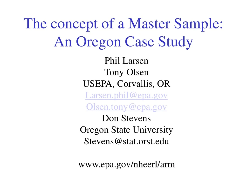
The concept of a Master Sample:An Oregon Case Study Phil Larsen Tony Olsen USEPA, Corvallis, OR Larsen.phil@epa.gov Olsen.tony@epa.gov Don Stevens Oregon State University Stevens@stat.orst.edu www.epa.gov/nheerl/arm
Background • Many agencies interested in regional scale monitoring of stream networks and watersheds, using similar attributes and similar/same protocols • Can’t afford to monitor everywhere (i.e., can’t census) • Conducting a sample survey a sound way to characterize a region by monitoring a representative set of sites
From Stevens and Olsen, 2004Spatially balanced sampling of natural resources. JASA 99:262-278 • “Sampling the gamut of natural resources requires a technique that can select a spatially balanced sample of finite, linear, and areal resources with patterned and possibly periodic responses, using arbitrarily variable inclusion probability with imperfect frame information, in the presence of substantial nonresponse”
EMAP’s Design Approach • GRTS: Generalized Random Tessellation Stratified design • Incorporates randomization • Is spatially balanced • Creates an ordered list of sites • See: www.epa.gov/nheerl/arm for details
Combining Data • Data from different sample surveys can be combined if certain design principles are followed • Similar target populations are well defined • The same frame represents the target populations (i.e., use the same digital stream trace coverage) • Randomization in site selection • Common protocols are used to measure stream attributes
A Desirable Goal • Create a design that allows and facilitates integration up front rather than after the fact. • Current GRTS design allows selection of a “master” sample that can be subset to meet specific needs at a variety of spatial scales
An Oregon Pilot • Frame: USGS 1:100,000 scale digital hydrography (perennial and intermittent) • Selected a statewide sample of about 180,000 points on the network as an ordered list • Any subset drawn in order is a spatially balanced sample • WA: about 125,500 points • Distance between points is approximately 1 km. • Assigned a set of classification variables for sorting the sample
Site ID Location (Lat/Long) HUC 4th field code 5th field code 6th field code Strahler order Elevation (e.g., from DEMs) Ecoregion Level 2 Level 3 Level 4 Reporting regions OR DEQ ODFW monitoring areas Ownership Add other geo-referenced variables The Master Sample(An ordered list of sites)
Example • Pick a statewide sample • 50 sites in each of the 5 OR DEQ reporting regions • Equal balance among headwater (1st order), wadeable (2nd, 3rd order) and non-wadeable (4th+ order) streams • About 17 sites per stratum
Example • Solution: • Create stream groups: headwater, wadeable, non-wadeable from stream order assignments • Sort the list by DEQ region and stream group within DEQ region, maintaining the original order of sites • Pick the first 17 sites on the list within each DEQ region and stream order group
Example Design Characteristics • Equal # of sites by Strahler order categories: 1st, 2nd, 3rd+ • State-Wide design • 1054 unique sites allocated to 6 panels • Panels 1 to 5 visit once every 5 years • Panel 6 visit annually • 1550 site-visits over 5 years • 310 sites per year • WRIA design • 17 sites each WRIA for total 1054 sites • 1054 unique sites allocated to 6 panels • Panels 1 to 5 visit once every 5 years • Panel 6 visit annually • 1550 site-visits over 5 years • 310 sites per year • Intensive design • 50 total sites in 3 WRIAs • 17 sites from WRIA 5 year design and 33 additional sites
Utility of a Master Sample • An exploratory tool to examine different site allocations easily. • A framework for an actual integrated, multi-agency state-wide or regional monitoring program.
Flexibility/Potential • Add classification variables by assigning sites to new classes • Requires georeferenced data • Facilitates integration across programs • What sites already being monitored by another agency? • Encourages: • Communication about monitoring designs among agencies • Development of common databases to share data easily • Agreement on common protocols
To Make This Work, We Need: • A standard frame that everyone would use, even if imperfect • A process for correcting the frame as errors arise (i.e., frame maintenance) • Institutional Management • Database • Frame and corrections • GIS coverages for classification/stratification • Monitoring programs: who is doing what where? • Monitoring results