Download
1 / 8
80 likes | 190 Views
Explore Prof. Roy Dokka's slides on coastal elevations in Louisiana and their relation to global sea-level rise. Discover the challenges facing Louisiana's coast due to observed subsidence, affecting not just wetlands but the entire region. Gain insights into plans aimed at saving the coast based on current data and projected elevations for 2050 and 2100.

E N D
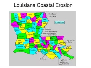
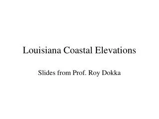
Louisiana Coastal Elevations Slides from Prof. Roy Dokka
The Seas Are Rising Global sea-level has been slowing since the last glacial maximum. Global sea-level has been constant over the past 100 years.
Gulf of Mexico
The Paradigm (red) underpinning plans to restore the Louisiana coast cannot explain the observed subsidence. It is not just the wetlands, it is entire coast. 1.5’ 2.0’ 2.7’ 0.0’ 0.0’ 0.0’ 0.0’ 0.0’ 4.0’ 0.0’ 5.4’ 4.0’ 0-0.1’ 2.1-3.5’ 6.0’ 1.1-2’ 6.0’ 8.3’ 2.1-3.5’ >3.5’ Plans to save the coast based on red rates.
2010 DEM Elevations • 8.9% Land Area at or below Sea Level • Approximately 897 miles2(2.3 million km2)
2050 DEM Elevations • 15.5% Land Area at or below Sea Level • Approximately 1,558 miles2(4 million km2)
2100 DEM Elevations • 27.1% Land Area at or below Sea Level • Approximately 2,724 miles2(7 million km2)