Download

1 / 3
30 likes | 131 Views
Explore the applicability of multi-temporal differential interferometry analysis in peri-urban areas for landslide studies. Investigate the potential of this technique using ERS images provided by ESA under the ENVISAT project. Supported by the European Community project LEWIS and the Italian Space Agency grant I/R/073/01.

E N D
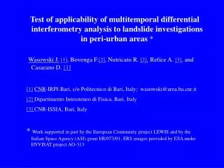
Test of applicability of multitemporal differential interferometry analysis to landslide investigations in peri-urban areas* Wasowski J.[1], Bovenga F.[2], Nutricato R. [2],Refice A. [3], and Casarano D. [1] [1]CNR-IRPI-Bari, c/o Politecnico di Bari, Italy; wasowski@area.ba.cnr.it [2]Dipartimento Interateneo di Fisica, Bari, Italy [3]CNR-ISSIA, Bari, Italy * Work supported in part by the European Community project LEWIS and by the Italian Space Agency (ASI) grant I/R/073/01; ERS images provided by ESA under ENVISAT project AO-313
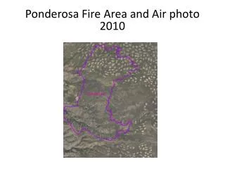
CaramanicoTest Area (Italy) – ERS SLC Amplitude Caramanico Town Air Photo