Download
1 / 9
90 likes | 221 Views
The Georgia Department of Transportation (GDOT) is modernizing its public road data collection practices to meet Federal Highway Administration (FHWA) requirements while overcoming resource limitations. By collaborating with local governments, GDOT aims to create a comprehensive State Data Framework to gather high-resolution road information with reduced duplication of efforts. This integration will provide better data for decision-making, improve emergency response capabilities, and ensure accurate mapping of county road mileage, ultimately benefiting both local jurisdictions and state agencies.

E N D
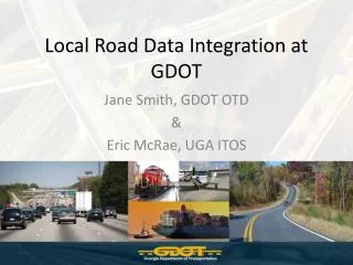
Local Road Data Integration at GDOT Jane Smith, GDOT OTD & Eric McRae, UGA ITOS
The Facts • Georgia State Code 32-4-2(b) • The department shall keep written records of the mileage on all public roads • Georgia State Code 32-4-41(4) and 32-4-91(b) • Notify the department within three months that road is added or abandoned • Notification shall be accompanied by a map or plat
The Issue • GDOT collects road information on all public roads • FHWA is requiring more data • Diminishing resources and funding • Antiquated methods of collection • Counties and Cities already collecting information at higher resolution
The Solution • Create an integrated State Data Framework • Work with local governments to secure data • Less repetition than having multiple groups collecting same information • More accurate line work
Potential Data Sources • Road Centerline files • Tax Assessor CAMA Files • Road Names & Paved/Unpaved • 911 Centerline files • Parcel Datasets • Public Works
Local Benefits • Seamless integration with state data sets • More accurate depiction of county mileage for decision makers • GIS serves as the notification • Local data can be returned with existing GDOT attribution • More accurate county maps
Benefits to State • More complete road coverage • Reduction of duplicative effort • Conduit to federal agencies for local information • Better data for State Emergency Response • Access to more accurate information