Download
1 / 24
240 likes | 375 Views
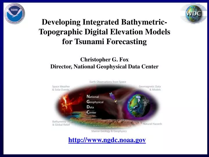
Developing Integrated Bathymetric-Topographic Digital Elevation Models for Tsunami Forecasting Christopher G. Fox Director, National Geophysical Data Center. http://www.ngdc.noaa.gov. NOAA National Data Centers. The Environmental Spectrum. Solar Activity Space Environment Upper Atmosphere.

E N D
Developing Integrated Bathymetric-Topographic Digital Elevation Models for Tsunami Forecasting Christopher G. Fox Director, National Geophysical Data Center http://www.ngdc.noaa.gov
The Environmental Spectrum • Solar Activity • Space Environment • Upper Atmosphere NGDC Lower Atmosphere Snow and Ice NSIDC NCDC Wet Ocean Land Surface NODC NGDC Ocean Floor Earth’s Interior
NGDC World Digital Magnetic Anomaly Map3 arc minute resolution grid
Arctic Sea Ice Extent Summer of 2007 changes trends sharply for Jul and Aug Dark grey - area with <15% sea ice on 9 Sept where there has (since 1979) been sea ice before on this date Sea ice extent through 2006 compared with 18 IPCC model predictions Citation: Stroeve, J., M. M. Holland, W. Meier, T. Scambos, and M. Serreze (2007), Arctic sea ice decline: Faster than forecast, Geophys. Res. Lett., 34, L09501, doi:10.1029/2007GL029703.
Comprehensive Large Array-data Stewardship System(CLASS) CLASS is the IT infrastructure in which NOAA’s large environmental data sets will reside. CLASS currently includes large satellite data sets from POES, GOES, DMSP and related products. CLASS West node resides at NGDC in Boulder. The system includes nearly 10,000 tape slots with 400 GB capacity per tape for a total of ~4PB of storage.
NGDC Supports CORS-West CORS = Continuously Operating Reference Station NGDC is a mirror site and archive for CORS and provides data to other Boulder labs for ionospheric and total moisture content applications The CORS network contains about 1,250 GPS tracking stations, and it is growing by about 200 stations per year. Red dots = GPS + GLONASS sites whose data will become available in 2009.
CORS-West Support for Hurricane Gustav NGDC operates the CORS-West mirror facility in coordination with the NOS/NGS. GPS receiver data from CORS collection sites along the gulf coast were used by NOAA research and the NWS during hurricane Gustav for local weather predictions. The upper panel on the right includes time series plots of the integrated precipitable water (IPW) and barometric pressure near New Orleans. The lower panel is the model storm analysis from the NOAA Rapid Update Cycle (RUC) operational weather prediction model showing the IPW near the time of landfall. (Graphics courtesy of ESRL/GSD – Seth Gutman) Water surges against the Inner Harbor Navigational Canal in New Orleans. (Photo: Lee Celano/Reuters)
SWPC Future Data Needs for “US-TEC” SWPC wishes to expand US-TEC to a global model by including new data from a variety of GPS regional networks & an operational COSMIC-2. Requesting NGDC to acquire these data is under consideration (SWPC-NGDC Summit).
Role of VDatum and Digital Elevation Models (DEMs) in Tsunami Preparedness
ETOPO1 Global Relief Model • Global digital elevation model (DEM) of Earth’s surface (ice surface and bedrock versions) • 1 arc-minute (~2 km) cell size • Horizontal datum: WGS 1984 geographic • Vertical datum: approximately mean sea level (underlying source datasets not converted to common vertical datum) • http://www.ngdc.noaa.gov/mgg/global/global.html
MOST Tsunami Model Video: Kuril Island 2006 Tsunami Cross-Pacific Propagation • Tsunamis have such long wave-lengths that they propagate as a shallow-water wave; even in the deep ocean (they “feel” the bottom) • Notice the scattering from seamounts and fracture zones • Notice that the tsunami consists of multiple arrivals
MOST Tsunami Model Video: Kuril Island 2006 Tsunami Striking the Hawaiian Islands • Tsunamis amplify in shallow water • Tsunamis are steered by shallow bathymetry • Digital Elevation Models must be accurate, both horizontally and vertically • Artificial offsets at the coastline can significantly degrade forecasts
U.S. Coastal Relief Model (CRM) • Current Version built between 1999 and 2004 (no VDatum) • 3 arc-second (~90 meter) cell size • Horizontal datum: NAD 1983 geographic • Vertical datum: topography in NAVD88, bathymetry in MLLW or MLW
Next-generation CRM • NGDC is beginning work on the next-generation CRM • Expected 5-year project • 1 arc-second (~30 meter) cell size • Horizontal datum: WGS 1984 geographic • Vertical datum: NAVD88 (goal to be “seamless” at the coast) • Requires VDatum to convert to common vertical datum: creation of individual CRMs will parallel regional VDatum development • Also building a “Southern Alaska” CRM at 24 arc-second (~700 meter) cell size without common vertical datum
Tsunami Inundation Gridding Project • NGDC builds high-quality, high-resolution DEMs to meet PMEL Method of Splitting Tsunami (MOST) Model requirements in support of NOAA’s tsunami forecasting, warning and coastal preparedness efforts • Detailed reports and metadata describing DEM creation • Web dissemination to public Perspective view of NGDC’s Sand Point, AK DEM. http://www.ngdc.noaa.gov/mgg/inundation/
Tsunami Inundation Gridding Project • 1/3 arc-second (~10 meter) cell size • Horizontal datum: WGS 1984 geographic • Vertical datum: mean high water (MHW) • Goal is to be seamless at coast Perspective view of NGDC’s Monterey, CA DEM.
Vertical Datum Conversions Geodetic Tie to Tidal Datums Once leveled, you can transform between tidal and geodetic datums. Tide Gauge 3.150 m Tidal Bench mark 4811 G 2004 Pier NOAA 1.150 m (example value) 2.736 m MHW Tidal Bench mark 4811 G 2004 Geodetic Benchmark (and its NAVD88 value) Relative to Tidal Datum 2.000 m Bench mark with geodetic control (NAVD88,etc.) 1.220 m MLLW NAVD88 Orifice 0.7428 m Station Datum
Completed NGDC Tsunami Inundation DEMs • West Coast • Port San Luis, CA • Monterey, CA • Garibaldi, OR • Astoria, OR • Port Orford, OR • Central OR Coast • La Push, WA • East Coast • Daytona Beach, FL • Savannah, GA • Myrtle Beach, SC • Cape Hatteras, NC • Virginia Beach, VA • Atlantic City, NJ • Montauk, NY • Gulf of Mexico • Corpus Christi, TX • Galveston, TX • Biloxi, MS • Panama City, FP • Puerto Rico • Arecibo • Fajardo • Guayama • Mayaguez • Ponce • San Juan • Alaska • King Cove • Sand Point • Dutch Harbor • Hawaii • Lahaina • Kawaihae
Multi-deterministic Inundation Maps SB379 Police Station Fire Station
Importance of VDatum to Tsunami Inundation Modeling VDatum permits conversion of bathymetric and topographic data within a U.S. coastal region to a common vertical datum, and thereby produce a seamless DEM across the bathymetry-topography boundary, the most critical zone to tsunami forecasts. Without VDatum, NGDC relies upon the relationship between tidal and geodetic datums as measured at discrete tide stations in the region, and applies these constant offsets to the entire region. As the relationship between tidal and geodetic datums can vary over short distances, especially between the open coast and within bays and harbors (where most tide stations are located), use of a constant is valid only for the area near the tide station. Farther away, the “true” tidal-geodetic relationship is different, and a small “step” gets introduced into the DEM along the coast.
End NOAA National Geophysical Data Center