Download
1 / 40
400 likes | 510 Views
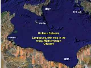
Study on mapping land use systems for sustainable land management in Tunisian watersheds, presented at the 'Assessing Benefits of SLM – key for success' symposium in Rabat, Morocco on 19 October 2009. The study area encompasses wadi Oum Zessar and wadi El Halouf. Administrative division includes Médenine Nord, Sidi Maklouf, and Béni Khédache counties. Land use mapping units include cereal agriculture, jessour agriculture, rangelands, and more. Online mapping continues for further assessment.

E N D
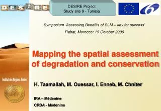
DESIRE Project Study site 9 - Tunisia Symposium ‘Assessing Benefits of SLM – key for success’ Rabat, Morocco: 19 October 2009 . Mapping the spatial assessment of degradation and conservation . H. Taamallah, M. Ouessar, I. Enneb, M. Chniter IRA – Médenine CRDA - Médenine
Study Area The study area covers the watersheds of wadi Oum Zessar and wadi El Halouf which are localized in southeast Tunisia (north west of the city of Médenine). Administratively, it belongs to three counties (Médenine Nord, Sidi Maklouf and Béni Khédache) of the province of Médenine.