Download
1 / 20
200 likes | 217 Views
Learn about UNOSAT, the UN Operational Satellite Applications Programme, dedicated to satellite imagery analysis, mapping, and capacity development. Discover the importance of continuity in their work and their areas of output such as humanitarian aid, crisis mapping, and damage assessment.

E N D
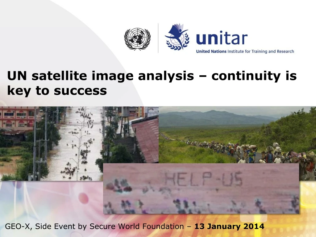
UN satellite image analysis – continuity is key to success GEO-X, Side Event by Secure World Foundation – 13 January 2014
Introduction to UNOSAT • Continuity • Thematic • Temporal • Quality • Innovation
Introduction to UNOSAT • About UNOSAT • UNOSAT is the Operational Satellite Applications Programme of the UN Institute for Training and Research (UNITAR) – entirely dedicated to researching and applying solutions in satellite imagery analysis, mapping and capacity development • A mature UN centre of excellence with global outreach supported by a network of partners worldwide • Since 2003, operational in over 280 emergencies & conflicts
UNOSAT - AREAS OF OUTPUT Humanitarian Aid and Relief Coordination Crisis & Situational Mapping Damage assessment Human Security Monitoring Human Rights Safety and Security Territorial Planning and Monitoring Capacity Development & Technical Assistance In-country project development
UNOSAT integrated response model for humanitarian relief and development Demand for geo-information
Introduction to UNOSAT • Videos • Short overview of rapid mapping • Examples of the importance of continuity
Introduction to UNOSAT • Video • Capacity development for Disaster Risk Reduction: IGAD
Powered by CERN IT • 16 terabytes of data stored at CERN Computer Centre – benefiting from economies of scale (100 petabytes at CERN), i.e. UNOSAT share: 1/6000 • 10 gigabit/second bandwidth • IT-support and server hosting • Virtual machines in CERN-cloud • Computer security • Research environment, collaboration
“UNOSAT’s work and its ability to directly improve the lives of some of the world’s most vulnerable and threatened people is a unique resource” Antonio Guterres, UN High Commissioner for Refugees
www.unitar.org/unosateinar.bjorgo@unosat.org24/7 hotline: +41 76 487 4998


