Download
1 / 6
60 likes | 62 Views
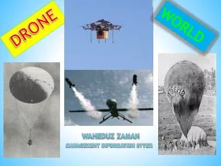
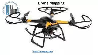
OEA has professional experience in satellite image acquisition using remote sources. Our drone mapping services has the potential to gather the best accessible geo-rectified as well as colour corrected images. Our services help in monitoring the efficiency of approved plans as well as Identifying illegal development. Visit our website to know more about our services. https://oeaconsults.com/drone-mapping-surveys/

E N D
Drone Mapping https://oeaconsults.com/
Drone mapping is known as the use of a drone or unmanned aerial vehicle (UAV), to collect aerial data. During a drone mapping with an RGB camera the site is photographed numerous times from various angles, as well as each image captured is tagged with coordinates.
As compared to crewed aircraft or satellite imaginings, drones can hover at a much lower altitude and make the production of high-accuracy and high-resolution data less expensive, much faster as well as independent of atmospheric circumstances such as cloud cover.
CONTACT US https://oeaconsults.com/drone-mapping-surveys/ info@oeaconsults.com +234 706 968 1949