Download
1 / 1
30 likes | 291 Views
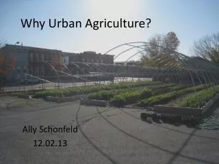
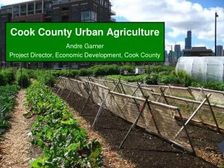
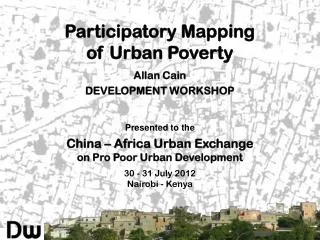
PROBLEM STATEMENT During the rapid process of urbanization, Tokyo has converted agricultural land into industrial, commercial and/or residential spaces. In order to raise awareness of fragile urban environments and risks of human isolation from

E N D
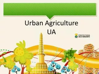
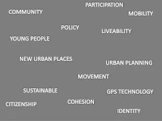
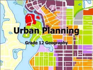
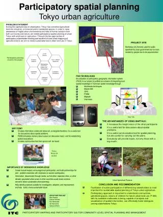
PROBLEM STATEMENT During the rapid process of urbanization, Tokyo has converted agricultural land into industrial, commercial and/or residential spaces. In order to raise awareness of fragile urban environments and risks of human isolation from both community and nature, we initiate participatory spatial planning of urban Tokyo with emphasis on agriculture. Through the two approaches of participatory stakeholder meeting and student’s future urban mapping of agricultural land, we aim to create sustainable future urban land use in Tokyo. PGIS TECHNOLOGIES the utilization of participatory geographic information system (PGIS) in our project is justified as a means of integrating local spatial knowledge in Technical spatial knowledge through: Multimedia techniques Mobile GIS GPS P3DM Maptalk Interviews Map Talk GROUP ONE PGIS 2007 Miza Khamis Damian Nchindo Rex Hamazuka Aki Kamoshita Ujang Lasmana Participatory spatial planningTokyo urban agriculture PROJECT SITE Nishitokyo city formerly used for public apartment by local government but no more resided by people due to de-popularization Participatory planning circle for the project THE ADVANTANGES OF USING MAPTALK: • It increases the insight vision of the other participants • It’s a useful tool for discussions about spatial problems. • It’s a useful communication tool for spatial planning, but also useful for carrying out the plans. • Everybody will provide inputs, not only those with a big mouth. • WHY P3DM? • It makes information visible and above all, so tangible therefore, It is a useful tool for discussions about spatial problems. • P3DM stimulates memory about space (on discussion topic) and for establishing • spatial associations • It makes communities feel their opinion will be heard Video With 3D model IMPORTANCE OF INDIGENOUS KNOWLEDGE • Create mutual respect, encourage local participation, and build partnerships for joint problem resolution with emphasis on women participation. • Information disseminate through media, so that other Japanese cities, or other densely populated urban areas in other countries would share common concerns about sustainable urban planning). • Help identify practices suitable for investigation, adoption, and improvement; and help build a more sustainable future Urban Agricultural Products CONCLUSION AND RECOMMENDATION • Facilitation of active participation of different key stakeholders is most important for sustainable spatial planning of Tokyo urban agriculture. • Participatory approach is important to understand communities, gendered spaces, visions of children for future urban land use. P-GIS, with its available multimedia is being capable of analysis and visualization of spatial information, can effectively foster dialogues among stakeholders Tokyo. PARTICIPATORY MAPPING AND PARTICIPATORY GIS FOR COMMUNITY-LEVEL SPATIAL PLANNING AND MANAGEMENT