Download
1 / 25
250 likes | 327 Views
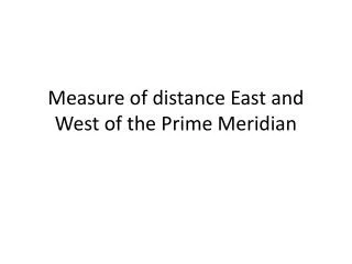
Distance measure. Point A: UTM Eastings = 450,000m; Northings = 4,500,000m Point B: UTM Eastings = 550,000m; Northings = 4,500,000m. State Plane Coordinate System. • Each state has one or more zones • Zones are either N-S or E-W oriented (except Alaska) • Each zone has separate

E N D
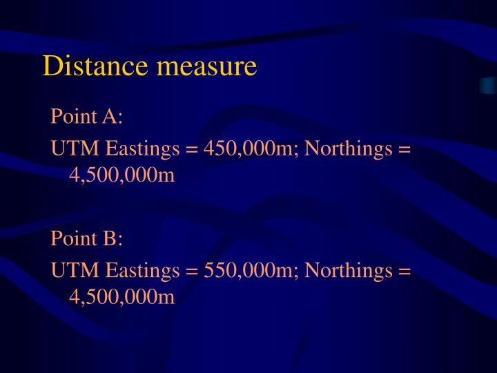
Distance measure Point A: UTM Eastings = 450,000m; Northings = 4,500,000m Point B: UTM Eastings = 550,000m; Northings = 4,500,000m
State Plane Coordinate System • Each state has one or more zones • Zones are either N-S or E-W oriented (except Alaska) • Each zone has separate coordinate system and appropriate projection • Unit: feet no negative numbers
Map Projections for State Plane Coordinate System E-W zones: N-S zones:
SPCS • The origin for each zone is placed outside the zone to the southwest (a false origin) • X-origin: • Transverse Mercator (N-S) Zones 500,000 feet west of the furthest point west • Lambert Conformal Conic (E-W) Zones 2,000,000 feet west of the furthest point west • Y-origin is not a specific distance to the south (varies by state and zone)
Use of SPCS Advantages: • The system is used primarily for engineering applications e.g. utility companies, local governments to do accurate surveying of facilities network (sewers, power lines) • More accurate than UTM. SPCS deals with smaller area Disadvantages: Lack of universality cause problems for mapping over large areas such as across zones and states
Data source “Very few GIS projects have to start with no data at all. “ Data collected and made available by the various branches of government and third party vendors Finding existing map data?
North Carolina • Center for Geographic Information and Analysis
Florida • Florida Geographic Data Library (FGDL)
Government data providers • U.S. Geological Survey • Imagery, DEMs, DRGs, DLGs • U.S. Census Bureau • TIGER • National Oceanic & Atmospheric Agency • Coastal management • Oil & chemical spills • Coral reef conservation • Natural Resource Conservation Service • STATSGO (U.S. General Soil Map)
Data from USGS • Digital line graphs (DLGs) • Digital elevation model (DEMs) • Land use and land cover digital data • Digital cartographic text • Digital orthophotoquads (DOQ) • Digital raster graphics (DRG)
U.S. Geological Survey Satellite image • http://edcimswww.cr.usgs.gov/pub/imswelcome/
US Census Bureau • TIGER/Line Files • TIGER=Topologically Integrated Geographic Encoding and Referencing • US Census Bureau’s TIGER system automates the mapping and related • geographic activities required to support the decennial census and sample • survey program of the US census Bureau with the 1990 decennial census. • First comprehensive GIS database at street level for the • entire United States
Data Content of the TIGER/Line Files Three major types: • Line features: roads, railroads, hydrography, and boundaries • Landmark features: (1) Point landmark: schools, churches etc. (2) area landmark: parks, cemeteries etc. • Polygon features: geographic entities Note: line and polygon features are the majority of data Topology: provides the foundation for organizing spatial objects in the census TIGER data base.
Third Party Vendors • ESRI • TeleAtlas Map Databases • DeLorme Street Atlas & Topo Usa • GeoCommunity Data Bundles
Creating New Data • Digitizing • Scanning • Field and Image data
Digitizing • Transforms information from analog format (e.g., paper, Mylar) digital format for computer storage & display • Vector data capture • Methods • Digitizing tablet • On screen digitizing using PC
Digitizing Tablet • Electronically active table surface • Fine grid of wires acts as a Cartesian coordinate system • Small & large formats available http://www.calmit.unl.edu/geog412/Digitizing.pdf
Digitizing Tablet • Puck • Connected to tablet • Records locations from map • Crosshair feature locator • Buttons indicate beginning/ending of lines/polygons, left/right polygons
On-screen digitizing w/ PC Also called “heads-up” digitizing http://www.esri.com/news/arcnews/winter0102articles/epas-clean-water.html
Input devices: Scanners • Types: • Desktop scanner • Drum scanners “Drum scanner receives an entire sheet map, usually clamped to a rotating drum, and scans the map with very fine increments of distance.”
Raster Data Input: Remote Sensing • Aerial photography • Source of base map data for many products check products 1st • Distortions caused by scale, relief, tilt • Orthophotos/orthophotoquads • Type of aerial photo • Corrected for scale, relief, tilt distortion • Available in analog & digital formats • Satellite Imagery • Requires geometric & radiometric processing • Geometric processing: GCPs • Classification & accuracy assessment
GPS Data Input • Supports development of highly accurate geodetic control • Links field data collection to locations • Cost & accuracy vary