Download
1 / 25
250 likes | 269 Views
Learn about latitude and longitude with this interactive activity that explores the equator, prime meridian, international date line, and hemispheres. Find cities on a map using their coordinates and identify the coordinates of various cities.

E N D
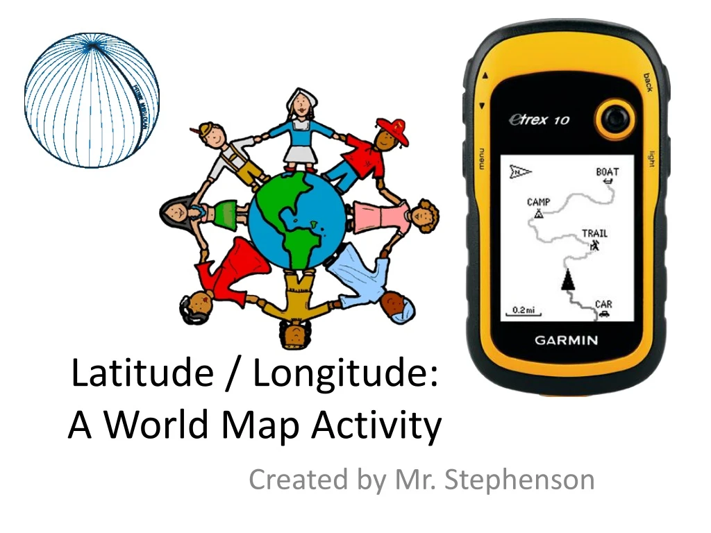
Latitude / Longitude:A World Map Activity Created by Mr. Stephenson
Before we talk about Latitude and Longitude… • There are a few ideas or concepts we need to know BEFORE we learn about latitude and longitude. • For example, what is: • The Equator? • The Prime Meridian? • The International Date Line? • A Hemisphere?
The Equator • The Equator separates, or divides, the world into a top, or northern, half and a lower, or southern, half.
More about the Equator • The Equator is equally far away from the North Pole as it is from the South Pole. • The Equator is an imaginary line that we can not see, but we know that it is there.
The Prime Meridian • The Prime Meridian separates, or divides, the world into an eastern half and western half.
The 180° Meridian • The Prime Meridian only goes from the North Pole to the South Pole and NOT all the way around the earth! • Then what is on the other side of the earth—halfway around the world from the Prime Meridian?
The 180° Meridian • A circle has 360 degrees. Half of 360 is 180 so what is halfway around the world from the Prime Meridian is the 180° Meridian.
The International Date Line • Be careful when thinking about the 180° Meridian! Some people think that it is the International Date Line and that is NOT actually true! • What is the International Date Line (or IDL)? • The IDL divides tomorrow from today. If you are west of the IDL, then it is tomorrow. If you are east of the IDL, then it is today.
More on the IDL… • The IDL is close to the 180° Meridian and even uses the 180° Meridian at times, but some places near the 180° Meridian decided that they wanted to be on the other side of the IDL. • So now the IDL is NOT a straight line and does NOT exactly match the 180° Meridian. Weird, eh? The 180° Meridian International Date Line
Hemispheres • What is special about the Equator, Prime Meridian, and the 180° Meridian is that those imaginary lines divide the world into halves called hemispheres. • What is a Hemisphere? • Hemi- means half • Sphere means ball • So a hemisphere means half of a ball • In the case of World Geo, hemisphere means half of the Earth
The Four Hemispheres • If hemisphere means half of the Earth, then why are there four (4!) hemispheres? • Simple: There are northern, southern, eastern, and western hemispheres. That is four of them!
The Hemispheres of each place • Every location on earth belongs to two of the four hemispheres. • For example, St. Louis, MO is in the Northern and Western Hemispheres.
What is Latitude? Latitude measures distance NORTH or SOUTH from the Equator.
What is Longitude? Longitude measures distance EAST or WEST from the Prime Meridian.
Coordinates for every location! • Every place on the earth can be described by latitude and longitude coordinates. • For every set of latitude / longitude coordinates, there is only one place on the Earth. • For example, St. Louis, MO is located (more or less) at 38° N (latitude) and 90° W (longitude).
Where do the Equator and the Prime Meridian cross? • The Equator and Prime Meridian cross just west of Africa in the Atlantic Ocean.
Finding St. Louis on a Map • Finding St. Louis, MO on a map is easy IF you know the coordinates and how a map displays those latitude / longitude coordinates!
Remember Math Class? • Remember doing “Coordinate Graphing” in Math class? • For example, if you had to graph a point (2, 5) on a grid, where would you place the dot? • Answer: 2 spaces over on the x axis, and 5 spaces up on the y axis.
What we are doing today… • We are doing something like that (Coordinate Graphing) today. • I will give you several sets of coordinates and you will tell me which city is located at those coordinates. • I will also give you several cities to find and you will need to tell me what the latitude/longitude coordinates are for those cities.
How to do that… • Go either up or down from the Equator when using the latitude (North or South) coordinate. • Go either left or right of the Prime Meridian (center line of the map) when using the longitude (East or West) coordinate.
Ready to go? Almost… • Use the map provided in class to find all of the cities. • Some of the cities will be found on the “World Map” side of the map. • The other cities will be located in the United States so you may use the “United States” side of the map to find those cities. • OKAY, NOW GO FIND THOSE CITIES!!! GOOD LUCK AND HAVE FUN!!!


