Download
1 / 1
10 likes | 24 Views
Discover the power of aerial survey companies like NV5, revolutionizing data analysis by capturing valuable information from the skies.

E N D
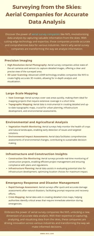
Surveying from the Skies: Aerial Companies for Accurate Data Analysis Discover the power of aerial survey companies like NV5, revolutionizing data analysis by capturing valuable information from the skies. With cutting-edge technology and expertise, these companies provide accurate and comprehensive data for various industries. Here's why aerial survey companies are transforming the way we analyze information: Precision Imaging High-Resolution Aerial Photography: Aerial survey companies utilize state-of- the-art cameras and sensors to capture detailed images, offering a clear and precise view of the surveyed area. 3D Laser Scanning: Advanced LiDAR technology enables companies like NV5 to create highly accurate 3D models, allowing for in-depth analysis and visualization. Large-Scale Mapping Vast Coverage: Aerial surveys cover vast areas quickly, making them ideal for mapping projects that require extensive coverage in a short time. Topographic Mapping: Aerial data is instrumental in creating detailed and up- to-date topographic maps, crucial for urban planning, infrastructure development, and environmental assessments. Environmental and Agricultural Analysis Vegetation Health Monitoring: Aerial surveys help monitor the health of crops and natural landscapes, enabling early detection of issues and targeted solutions. Environmental Impact Assessments: Aerial data facilitates comprehensive assessments of environmental changes, contributing to sustainable decision- making. Infrastructure and Construction Insights Construction Site Monitoring: Aerial surveys provide real-time monitoring of construction projects, enabling efficient project management and ensuring compliance with plans and regulations. Infrastructure Planning: Aerial data assists in evaluating potential sites for infrastructure development, optimizing location choices for maximum impact. Emergency Response and Disaster Management Rapid Damage Assessment: Aerial surveys offer quick and accurate damage assessments after natural disasters, facilitating prompt response and recovery efforts. Crisis Mapping: Aerial data aids in creating detailed crisis maps, helping authorities identify critical areas that require immediate attention during emergencies. Embrace the power of aerial survey companies like NV5, unlocking a new dimension of accurate data analysis. With their expertise in capturing, analyzing, and visualizing data from the skies, these companies are driving innovation across various industries and transforming the way we make informed decisions. WWW.NV5.COM