Download
1 / 21
210 likes | 331 Views
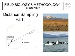
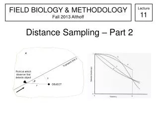
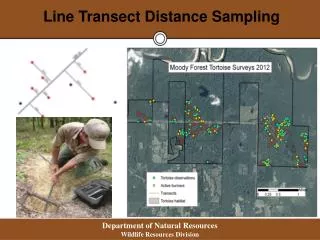
This project details the innovative use of ArcGIS Mobile in conducting line transect sampling for the marbled murrelet (Brachyramphus brevirostris) in Southeast Alaska's Glacier Bay National Park during summer. Facing challenges such as scale discrepancies, turbulent waves, unpredictable weather, and encounters with impersonators, our team navigated extreme conditions over 1.5 km, analyzing 45 groups within just 10 minutes. Thanks to the expertise of Regan Sarwas and the Alaska Region GIS Team, we achieved successful outcomes. For inquiries, contact Bill Johnson at bill_johnson@nps.gov.

E N D
Using ArcGIS Mobile for murrelet distance sampling Bill Johnson Southeast Alaska Network
Conflict: Extreme Pandemonium 45 groups in 1.5 KM (10 min)
Acknowledgement: Regan Sarwas and the expert Alaska Region GIS Team!