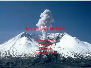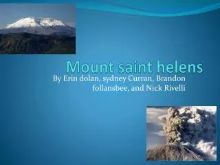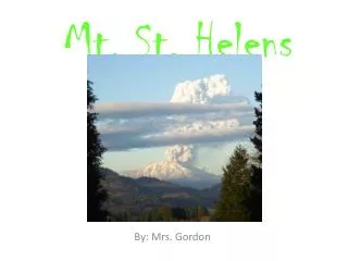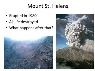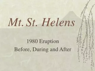
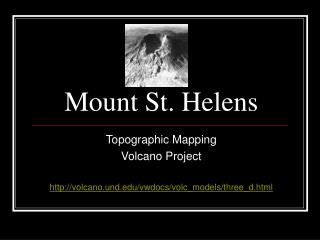
Mount St. Helens
Mount St. Helens. Topographic Mapping Volcano Project http://volcano.und.edu/vwdocs/volc_models/three_d.html. Objective:. TLW understand how Topographic maps relate to actual 3-D landforms. TLW Identify a hilltop, stream, and valley on a topographic map.

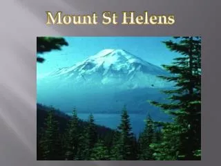
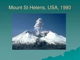
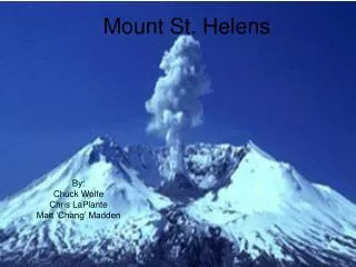
Mount St. Helens
E N D
Presentation Transcript
Mount St. Helens Topographic Mapping Volcano Project http://volcano.und.edu/vwdocs/volc_models/three_d.html
Objective: • TLW understand how Topographic maps relate to actual 3-D landforms. • TLW Identify a hilltop, stream, and valley on a topographic map. • TLW construct profiles from topographic contours.
Materials: • Lots of cardboard (7 pieces per student) • Scissors or razor-blade knife • A photocopy of the topographic map of Mount St. Helens. • Tape or glue • Paint (optional)
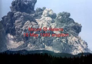
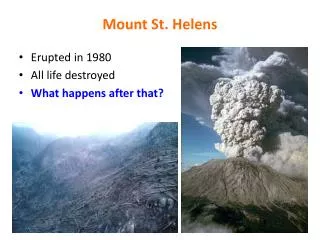
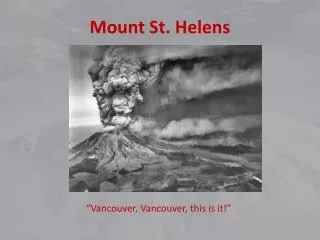
Purpose: • To develop a profile by making three-dimensional cardboard volcano from the Topographic Map of Mount St. Helens after its 1980 eruption but before the major dome building episodes.
ProcedurePart 1: Creating a Pattern • Use the page with the simplified topographic map or • Make your own map by highlighting index contour lines. • It is best to make the pattern about 9 or 12 inches on a side. If needed, enlarge the map to the appropriate size.
For a simplified topographic map of Mount St. Helens • Go to http://volcano.und.edu/vwdocs/volc_models/contour_map.gif
Part 2: Cutting Layers The number of layers (pieces of cardboard) to the volcano depends on the scale (contour interval) of your map and the amount of time you wish to invest on the model.
Cutting Layers Cont. • The yellow lines on the highlighted/simplified map are at intervals of 250 feet going up Mount St. Helens. You will have a total of 7 layers to be cut (one for each elevation)
Step 1: Cut out the lowest elevation from the map and trace onto one piece of cardboard. Then cut out the pattern from the cardboard.
Step 2: Continue to cut and trace each elevation on separate pieces of cardboard.
Step 3: • Stack the cardboard cut-outs in order from lowest elevation (BOTTOM LAYER) to highest elevation (TOP LAYER).
Step 4: • Tape or glue the layers in the appropriate order. Label the elevation of each layer.
Step 5: • Compare your 3-D map to the original simplified topographic map. Label the crater in the volcano.
Conclusion Questions: • Explain the purpose of contour lines. • Explain the purpose for not labeling all contour lines, and what are the names of the contour lines that are labeled. • Describe how a crater may be indicated on a topographic map. • Explain the importance of Topographic maps.