Download
1 / 8
80 likes | 95 Views
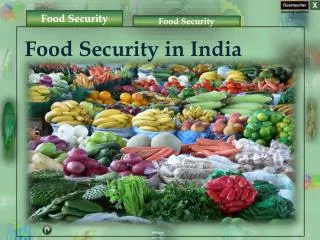
Access tools and satellite products to derive agricultural and aquacultural products. Get technical support, interact with users, and access high-accuracy vegetation parameters. Easily develop new services and access ready-to-use products. Targeted at universities, researchers, app developers, and more.

E N D
Food Security TEP - WGISS-47 Antonio Romeo 29/04/2019
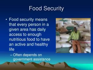
Supporting Sustainable Food Production from Space Access to tools to derive agricultural and aquacultural products Access to key satellite products and ancillary data, backed up by a scalable processing infrastructure Technical support for platform use Interact with a range of users through a dedicated forum Provision on request of high-accuracy, quality checked vegetation parameters (LAI, fAPAR, etc), suitable for use in operational scenarios. Ability to easily develop new services, with the ability to share processors and outputs only with selected user groups Access to ready-to-use products or customized services New Business Model offer for private companies
Target User Community • Universities • Researchers • App developers • Service Providers • Start-ups • Public Entities • International Bodies • Agriculture and Aquaculture industry • Finance industry
The Project Team • Prime contractor: Vista • Platform developer: CGI, VITO (Proba-V MEP intereaction) • Thematic service providers: Vista, VITO, Hatfield
Project Schedule • Last (17) sprint will end in May • 6 more months of pre-ops until November • Early adopter program available • Independent evolution after end of project with ESA sponsoring usage via Network of Resources
Portfolio 1/2 • Analytical tools: SNAP, R Studio, Orfeo, QGIS, Jupyter notebooks • Access to tools for computing basic key indices (vegetation and water content indices from Sentinel-2 data, as well as chlorophyll, soil and red edge indices) on the fly • Provision of high-accuracy, quality checked biophysical parameters (Leaf Area, fAPAR, fCOVER, NDVI) generated for Pilot projects • Docker based user algorithm integration
DEMO Visit: https://foodsecurity-tep.net/