Download
1 / 13
130 likes | 281 Views
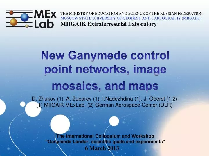
MIIGAIK Extraterrestrial Laboratory . THE MINISTRY OF EDUCATION AND SCIENCE OF THE RUSSIAN FEDERATION MOSCOW STATE UNIVERSITY OF GEODESY AND CARTOGRAPHY (MIIGAIK). New Ganymede control point networks, image mosaics, and maps. D. Zhukov (1), A. Zubarev (1), I.Nadezhdina (1), J. Oberst (1,2)

E N D
MIIGAIK Extraterrestrial Laboratory THE MINISTRY OF EDUCATION AND SCIENCE OF THE RUSSIAN FEDERATION MOSCOW STATE UNIVERSITY OF GEODESY AND CARTOGRAPHY (MIIGAIK) New Ganymede control point networks, image mosaics, and maps D. Zhukov (1), A. Zubarev (1), I.Nadezhdina (1), J. Oberst (1,2) (1) MIIGAIK MExLab, (2) German Aerospace Center (DLR) The International Colloquium and Workshop "Ganymede Lander: scientific goals and experiments" 6 March 2013
Exploration of Ganymede Highest resolved images of Ganymede from the missions: Voyager-1 Voyager-2 Galileo Cassini New Horizons 1239r 1640504 C2063614 1_N1356764498.145 DATA/20070226_003478/LOR_0034784234_0X630_SCI_1
Previous studies Control Networks: Dimensions: two-dimensional (x, y) Images: 302 VOYAGER 39 GALILEO 1921 pointsfrom VOYAGER images 200 points from GALILEO images Radiusof Ganymede: 2634.1 km Author: RAND, 1998 Map: Projection: Mercator and Polar stereographic Reference surface: Sphere with radius 2632.345 км Scale: 1 : 8 388 000 (±57° latitude) Resolution of images included in the map : 0.3 – 30.0 km/pix Author :USGS, 2002
New data available after previous studies: • more Galileo images available • improved JPL orbit model available for Galileo • use nominal Ganymede rotation model and reference system • new point measurements and analysis
Processing scheme: • 1.Control point network generation: • - image selection • obtaining exterior orientation • tie-point measurements • Adjusted exterior orientation • Parameters of Ganymede’s figure 2. Generation of Digital Terrain Model (in manual or automatic mode) 3.Orthorectificationof images 4. Creation of global mosaic ~ 12 months
Statistics and results from bundle block adjustments Accuracy estimation of control point coordinates
Color images RED 2122 GREEN 2200 VIOLET 2100 Galileo`s color image by automatic coregistration.
Conclusions • We have generated a new 3D control point network (CPN) for Ganymede • We have used larger number of Ganymede images than were available before, resulting in a more rigid network • We benefit from improved orbit data for Galileo • Our network provides reliable coordinate knowledge, e.g. for spacecraft navigation or a landing mission • Our CPN may also provide navigation support for JUICE and the Russian Ganymede lander&orbitermission • Using our software, it is possible to make quick updates of the network as new images or improved rotation models become available • We are still working on shape parameters… • Collaboration with European JUICE mission highly appreciated!
THE MINISTRY OF EDUCATION AND SCIENCE OF THE RUSSIAN FEDERATION MOSCOW STATE UNIVERSITY OF GEODESY AND CARTOGRAPHY (MIIGAIK) MIIGAIK Extraterrestrial Laboratory Thanks! 2013