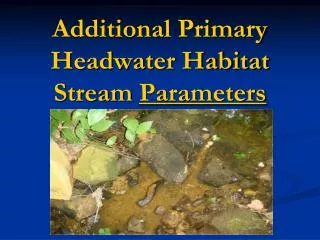
Additional Primary Headwater Habitat Stream Parameters
70 likes | 219 Views
Additional Primary Headwater Habitat Stream Parameters. Riparian Zone. Plant growth between the stream and the floodplains 1 (Riparian in short hand is plants covering stream banks). Floodplain Quality (left and right bank). Mature Forest, Wetland Immature Forest, Shrub or Old Field

Additional Primary Headwater Habitat Stream Parameters
E N D
Presentation Transcript
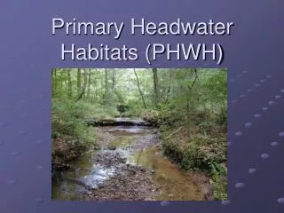
Riparian Zone • Plant growth between the stream and the floodplains1 (Riparian in short hand is plants covering stream banks)
Floodplain Quality (left and right bank) • Mature Forest, Wetland • Immature Forest, Shrub or Old Field • Residential, Park, New Field • Fenced pasture • Conservation Tillage • Urban or Industrial • Open Pasture, Row Crop • Mining or Construction
Flow Regime • Stream Flowing: Flowing water present at time of assessment. • Interstitial Flow with Isolated Pools: Flowing water present in isolated pools, which remain connected by subsurface flows. Dye testing may be needed to document pool connection. • Moist Channel, Isolated Pools, No Flow: Moist substrate and/or water present in isolated pools, but no visual evidence that the water in the pools is flowing. • Dry Channel, No Water: A completely dry channel for the entire 200 ft (61 m) stream reach.
Glossary • Gradient- Ratio of descent to length of a stream. • Floodplains - Flat land bordering a river and made up of alluvium (sand, silt, and clay) deposited during floods. When a river overflows, the floodplain is covered with water. • Tributary - A stream that flows to a larger stream or other body of water. • Sinuosity - A bending or curving shape or movement. • Rise – The drop in elevation of a stream over a given distance (run) • Run – The length of a stream used to calculate rise. • Meander - To define the margin of (a body of water) with a meander line.