Download
1 / 12
120 likes | 227 Views
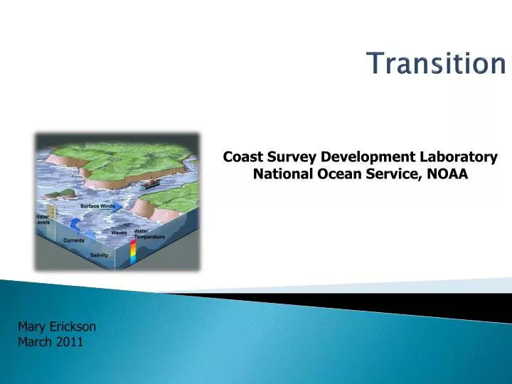
Transition. Coast Survey Development Laboratory National Ocean Service, NOAA. Mary Erickson March 2011. The Developing NOAA Strategy. Operations. Research. Products and Services. Phenomena of Interest. Observing Systems. ENSO Update. Time. Time. HAB Bulletin. Giant Bluefin Tuna.

E N D
Transition Coast Survey Development Laboratory National Ocean Service, NOAA Mary Erickson March 2011
The Developing NOAA Strategy Operations Research Products and Services Phenomena of Interest Observing Systems ENSO Update Time Time HAB Bulletin Giant Bluefin Tuna Space Space Operational Ocean and Coastal Forecast Guidance NOS, NWS Ops Observations & OSSE IOOS, NESDIS, OAR, JCSDA Data Assimilation & OSE NESDIS, NWS, OAR, JCSDA
The Pathway from Research to Operations and Applications Evaluation and Testing, Development, Transition to Operations Research and Development Value Added Product Development Operations Academia, IOOS Regional Associations, Research components of NOAA & other Fed Agencies Private Sector Actively manage these interfaces, through community modeling partnerships
“Operational” defined • Requirements-driven; • Meets a well defined mission need • Timely and Reliable; • Runs regularly & automatically in real time (24x7) • Demonstrates improvement; decreased uncertainty • Can fit well in the operational framework • Standardized formats, methodologies • Integrated QC (integrity guaranteed) • Stability & commitment for the model life-cycle
The Community Approach • A community approach… • Allows for open discussion of strengths and weaknesses of different models • Elucidates the requirements of a common shared infrastructure • Allows model improvements to be shared effectively • Advances the science (R2O/ O2R) • Leverages resources and amplifies the voice of the community
Goals and Shared Practices • Define criteria for transition and actively use these guidelines in partnership activities • Includes methods, standards and criteria for evaluating modeling systems (skill scores, etc.) • Support transition through NOAA modeling involvement in key partnerships with academia, state and local governments, and industry. • Examples: ROMS; ADCIRC; HYCOM communities • Create environments for evaluation and prototyping; shared datasets • Working, high quality grids, forcing, observations, in a shared resource • Example: Grid catalog; Delaware Bay Model Evaluation Environment
Goals and Shared Practices • Articulate “best” data management practices Ex: Model outputs in standard formats for ingest into GIS for analysis, mapping, and visualization • Follow and develop community framework and infrastructure: Earth System Modeling Framework • Model coupling, numerics, gridding techniques, etc. • Systems Approach: Integrating streamflow, runoff, water levels, waves, currents, T, S, etc. Ocean and atmosphere systems linked Physical-biochemical systems linked
Other ingredients for successful transition • Early involvements of Operations Center; agreed to operational or “applications” pathway • Clear plans and schedules; business case (ties back to customer value) • Clear funding for full life-cycle, including O+M • Routine check-in with key stakeholders – including management • Anticipate the unexpected
SST Salinity NOS/NOAA Marine Modeling Requirements • Support of safe & efficient navigation • Water levels for under-keel clearance • Currents for right-of-way, maneuverability • Future-chart w/forecast water levels and real time • bathymetry • Inundation • Storm Surge • Sea Level Rise • Note also: Coastal flooding, tsunami • Emergency response • HAZMAT • Homeland Security • Search & Rescue • For environmentally sound management of the coastal zone • Ecosystem applications • Marine geospatial applications (CMSP) • Energy, Arctic
Discussion Points (one perspective) • Already seeing benefits from improved communication and awareness of operational constructs. • Which sets of issues are we trying to improve on? Which part of the cycle? • Interdisciplinary is key; and its hard
Coastal Ocean Modeling FrameworkConsists of middleware to manage workflow PURPOSE: • Simplify Data Handling & Maintenance • Provide a Single System for all Locations • Provide a Single Source Graphics and Web Pages • Share Skill Assessment and Evaluation Tools • Provide a Single NOS Model Image to Users (NetCDF) • Various Models considered • ADCIRC, ECOM, EFDC, ELCIRC, FVCOM, MECCA, POM, QUODDY, ROMS • NOS has selected ROMS and FVCOM as the basis for new OFSsto select two or three “corporate” models