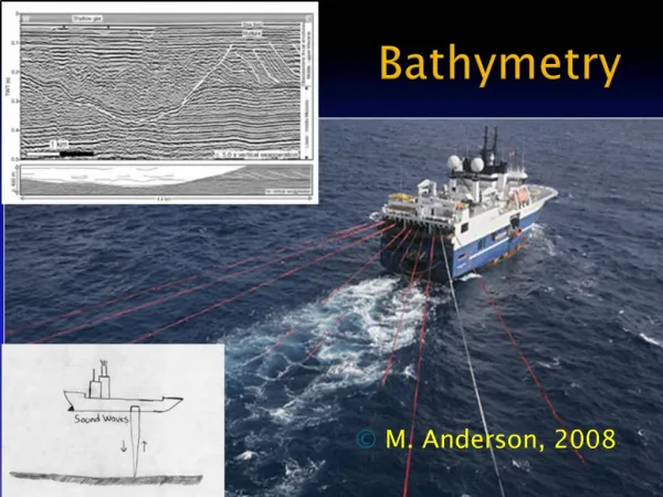
Bathymetric Data Collection and Analysis in Mediterranean Coastline
220 likes | 244 Views
Explore the comprehensive bathymetric datasets and analyses from Aegean Sea, Peloponnes, Libya, Tobruk area, and more. Discover high-resolution bathymetry maps and satellite-derived data with EU-funded research insights. Visit www.emodnet-bathymetry.eu for more information.

Bathymetric Data Collection and Analysis in Mediterranean Coastline
E N D
Presentation Transcript
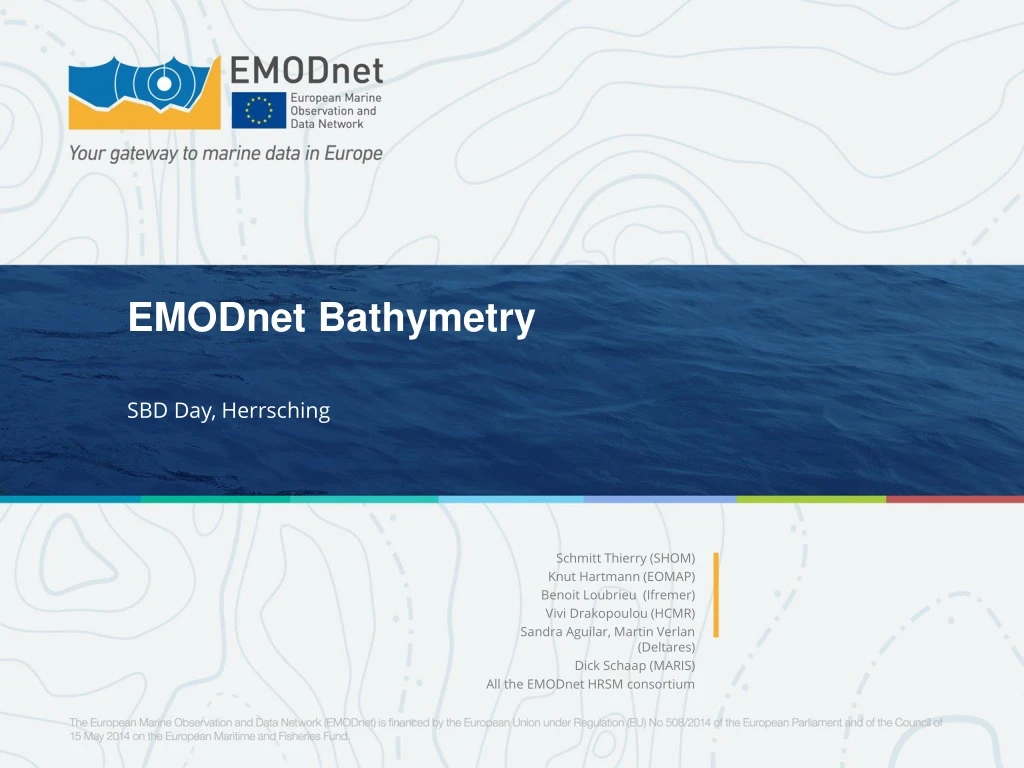
EMODnetBathymetry SBD Day, Herrsching Schmitt Thierry (SHOM) Knut Hartmann (EOMAP) Benoit Loubrieu (Ifremer) ViviDrakopoulou (HCMR) Sandra Aguilar, Martin Verlan (Deltares) Dick Schaap (MARIS) All the EMODnet HRSM consortium
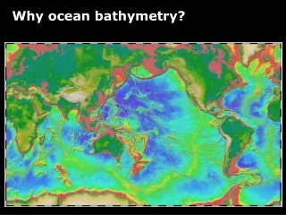
A briefhistory of bathymetric DEM Gebco 2008 – EMODNET 2014
2008 2016 Sources identification
Limitations in the coastal areas From Eakins et al. [2014] Modified after Cowell and Thom [1997].
SDB data provided to EMODnet Bathymetry by EOMAP Spain Mediterranean Coast Aegean Sea and Peloponnes Lybia, Tobruk area
Spain MediterranenCoast 8 CPRD dataset for Spain Med. coast, including Ceuta and Melilla Average bathymetric data coverage down to 15m
Aegean Sea and Peloponnes 9 CPRD dataset for GreeceAgeanSea and Peloponnes. Average bathymetric data coverage down to 18m
Aegean Sea and Peloponnes 1 CPRD dataset for Lybia, Tobruk area. Average bathymetric data coverage down to 20m
Western Mediterrannean Scatterplot of Satellite Derived Bathymetry vs. approx. 4 million acoustic survey point datasets and 0.4 million charting points for the Spanish Mediterranean coastline, showing a coherent fit with vertical uncertainties better than ZOC category C (2 + 5%waterdepth).
Balearics Satellite Derived Batyhmetry High res. MBES This project has received funding from the European Union's Horizon 2020 research and innovation programme under grant agreement No 687323.
Island of Crete Satellite Derived Bathymetric Grid, Iraklion area, SDB (2018) EMODnet1/8 (2016)
Coastline estimation Satellitewater occurrence detection 10% dry 90% dry 90% sea level High waterline MSL 10% sea level Low waterline High-res bathymetry Tidal information from Numerical Model
3. Relate satellite passage to water level 1. Gather satellite data 2. Detect Water bodies 4. Extrapolate water bodies limits to defined tidal levels